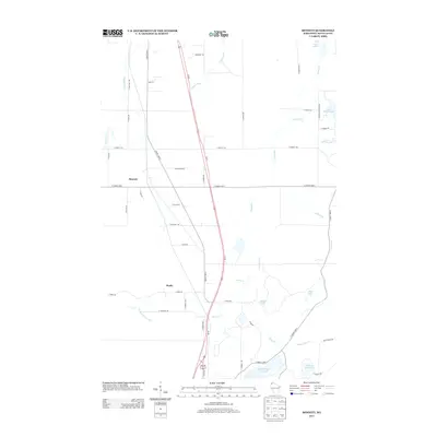
2013 Map of Bennett
USGS Topo · Published 2013About this map
Upper Saint Croix Lake and the surrounding Douglas County headwaters anchor this 2013 survey of the Wisconsin northwoods. The landscape is defined by its complex drainage network, where the Middle River and Poplar River flow north toward Lake Superior while the Saint Croix Cr begins its journey toward the Mississippi. This divide creates a mosaic of glacial water bodies including Lake Minnesuing, Gilbert Lake, and Lake of the Woods. Small settlements like Bennett and Beebe are situated along the Us-53 corridor and County Hwy-E, serving as central points for a network of rural roads such as S Karras Rd and S Thorsell Rd. The map provides a detailed view of these residential and timber tracts just before further modernization, tracing the natural flow of creeks like Kaspar Cr and Catlin Cr through the dense terrain.
Find a feature on this map
50 named features on this map. Tap any name to fly to it.
Don’t see what you’re looking for? This feature index may not catch every label — zoom into the map to look around manually.
Map Details
Editions of this 2013 Bennett Map
This is the sole edition of this map. No revisions or reprints were ever made.
Other maps of this area

1945 · Highland
USGS Topo · 1:48,000

1945 · Solon Springs
USGS Topo · 1:48,000

1947 · Brule
USGS Topo · 1:48,000

1949 · Solon Springs
USGS Topo · 1:48,000

1949 · Poplar
USGS Topo · 1:48,000

1949 · Highland
USGS Topo · 1:48,000

1953 · Ashland
USGS Topo · 1:250,000

1954 · Lake Nebagamon
USGS Topo · 1:24,000
1954 · South Range
USGS Topo · 1:24,000
1954 · Lyman Lake
USGS Topo · 1:24,000