Loading...
Loading map...2024 Map of Bergman
USGS Topo · Published 2024About this map
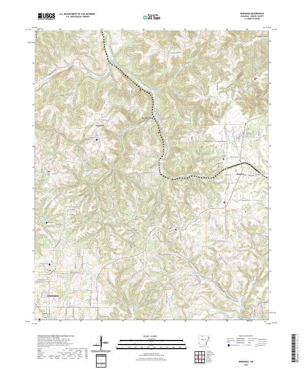
Bergman anchors this portion of Boone County, situated near the intersection of Zinc Rd and State Hwy 281. The landscape is defined by a dense network of hollows and creek systems, including Sugar Orchard Creek, Bear Creek, and Crooked Creek to the south. Small rural clusters like Hopewell and Wooden Hills reflect the traditional settlement patterns of the Ozarks, where community life often centered around local landmarks.
Find a feature on this map
112 named features on this map. Tap any name to fly to it.
Don’t see what you’re looking for? This feature index may not catch every label — zoom into the map to look around manually.
Map Details
Date Portrayed2024
Date Published2024
PublisherU.S. Geological Survey
Map TypeTopographic
Scale1:24000
Physical Dimensions24 x 29 inches
Editions of this 2024 Bergman Map
This is the sole edition of this map. No revisions or reprints were ever made.
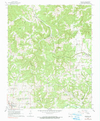
Historical Maps of Myrtle Through Time
Featured Locations
Source Details
SourceU.S. Geological Survey
CopyrightPublic Domain