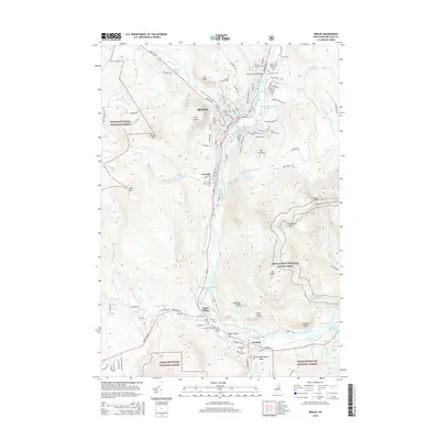
2015 Map of Berlin
USGS Topo · Published 2015About this map
The Androscoggin River valley defines the industrial and social development of this northern New Hampshire corridor, where the city of Berlin and the village of Gorham sit surrounded by the peaks of the White Mountain National Forest. This 2015 survey details a landscape where heavy industry and natural conservation coexist, from the Cascade Mill Lagoons at Cascade to the protected heights of Jericho Mtn and Mt Hayes.
Find a feature on this map
127 named features on this map. Tap any name to fly to it.
Don’t see what you’re looking for? This feature index may not catch every label — zoom into the map to look around manually.
Map Details
Editions of this 2015 Berlin Map
This is the sole edition of this map. No revisions or reprints were ever made.
Other maps of this area

1893 · Mt. Washington
USGS Topo · 1:62,500

1893 · Gorham
USGS Topo · 1:62,500

1896 · Mt. Washington
USGS Topo · 1:62,500

1896 · Gorham
USGS Topo · 1:62,500

1930 · Milan
USGS Topo · 1:62,500

1930 · Percy
USGS Topo · 1:62,500

1933 · Milan
USGS Topo · 1:62,500

1934 · Percy
USGS Topo · 1:62,500

1934 · Milan
USGS Topo · 1:62,500

1935 · Mt. Washington
USGS Topo · 1:62,500