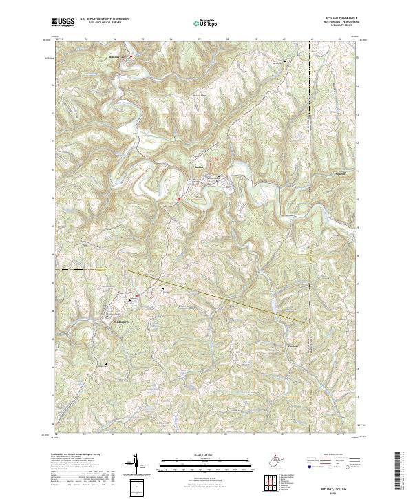
2023 Map of Bethany
USGS Topo · Published 2023About this map
Bethany College and West Liberty University anchor this portion of the Northern Panhandle, where the West Virginia and Pennsylvania border defines the eastern edge of the landscape. The terrain is characterized by a series of prominent elevations including McAdoo Ridge, Bealls Ridge, and the curiously named Apple Pie Ridge. These ridges are separated by a dense network of watercourses and springs, such as Buffalo Creek, Grog Run, and numerous family-named water sources like Asher Childers Spring and Lee Miller Spring. Small settlements and crossroads like Potomac, McKinleyville, and Frogtown are connected by winding routes such as the Bethany Pike. Local history is preserved in several rural burial grounds, including Liberty Cem and Morgan Cem, which are situated among the many runs and creeks that feed into Short Creek to the south.
Find a feature on this map
139 named features on this map. Tap any name to fly to it.
Don’t see what you’re looking for? This feature index may not catch every label — zoom into the map to look around manually.
Map Details
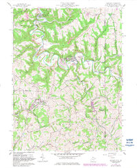
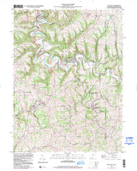
Editions of this 2023 Bethany Map
This is the sole edition of this map. No revisions or reprints were ever made.
Historical Maps of Washington County Through Time
Featured Locations
- Donegal Township, PA
- Independence Township, PA
- West Liberty, WV
- Follansbee District, WV
- Bethany, Wellsburg District