2022 Map of Beulahville
USGS Topo · Published 2022About this map
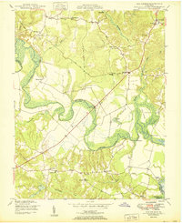
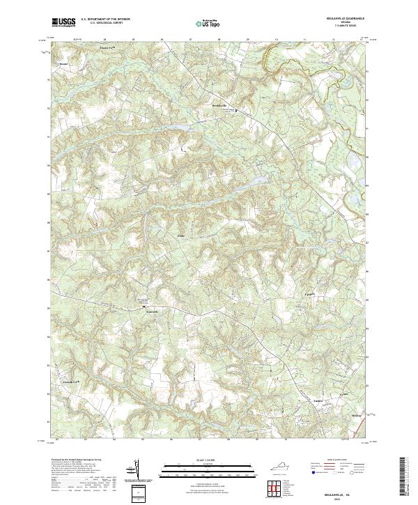
The Mattaponi River forms a significant northern boundary for this rural portion of King William and King and Queen counties. This landscape is defined by its complex drainage network, where numerous millponds such as Dublin Millpond, Mitchell Millpond, and Herring Cr Millpond suggest a history of water-powered industry integrated with the local agriculture. Smaller crossroads settlements like Beulahville, Epworth, and Globe anchor the interior, often centered around community landmarks such as the Beulah Baptist Church Cem or Epworth United Methodist Church Cem. The road network, including State Rte 610 and King William Rd, connects these scattered hamlets through the varied terrain of Governor Swamp and several named creeks like Fork Bridge Creek and Aylett Cr.
Find a feature on this map
82 named features on this map. Tap any name to fly to it.
Don’t see what you’re looking for? This feature index may not catch every label — zoom into the map to look around manually.
Map Details
Editions of this 2022 Beulahville Map
This is the sole edition of this map. No revisions or reprints were ever made.
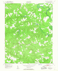
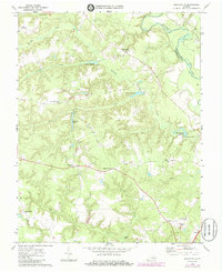
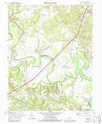
Historical Maps of Corinth Fork Through Time
6 maps found