2022 Map of Beulaville
USGS Topo · Published 2022About this map
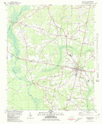
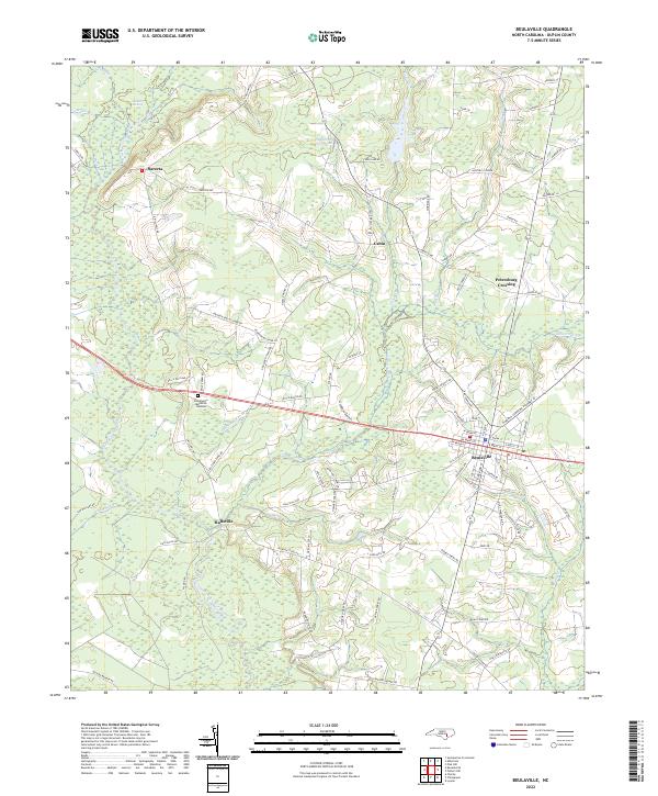
The Northeast Cape Fear River meanders through the heart of Duplin County, anchoring a landscape where agriculture and rural hamlets meet. Centered on the town of Beulaville, this modern survey illustrates a community defined by its watercourses and family-named roads, from Hallsville in the south to the small settlement of Sarecta in the northwest. Large-scale hydrological features like Goshen Swamp and Cabin Lake contrast with smaller family landmarks and local landmarks like East Duplin Memorial Gardens.
Find a feature on this map
83 named features on this map. Tap any name to fly to it.
Don’t see what you’re looking for? This feature index may not catch every label — zoom into the map to look around manually.
Map Details
Editions of this 2022 Beulaville Map
This is the sole edition of this map. No revisions or reprints were ever made.