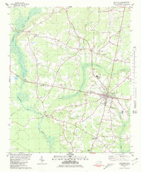
1981 Map of Beulaville
USGS Topo · Published 1981About this map
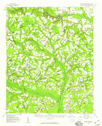
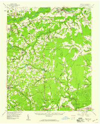
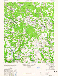
The Northeast Cape Fear River meanders along the western edge of this coastal plain landscape, defining the rural character of Duplin County as it appeared in the late 1970s. The settlement of Beulaville serves as the primary hub, where local infrastructure including the East Duplin High Sch and a Drive-in Theater reflects the community's mid-century growth. Smaller, long-standing hamlets like Sarecta, Hallsville, and Jacksons Crossroads are interconnected by a network of rural roads and drainage basins like Limestone Creek and Gum Branch.
Find a feature on this map
33 named features on this map. Tap any name to fly to it.
Don’t see what you’re looking for? This feature index may not catch every label — zoom into the map to look around manually.
Map Details
Editions of this 1981 Beulaville Map
This is the sole edition of this map. No revisions or reprints were ever made.
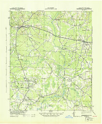
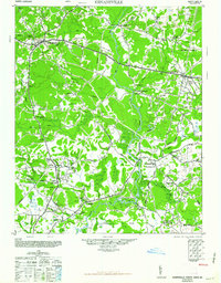
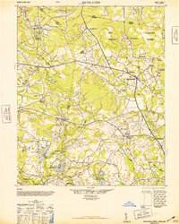
Other maps of this area
1943 · Kenansville
USGS Topo · 1:62,500
1948 · Kenansville
USGS Topo · 1:62,500
1948 · Richlands
USGS Topo · 1:62,500

1953 · Rocky Mount
USGS Topo · 1:250,000

1953 · Beaufort
USGS Topo · 1:250,000

1954 · Rocky Mount
USGS Topo · 1:250,000

1954 · Beaufort
USGS Topo · 1:250,000
1957 · Seven Springs
USGS Topo · 1:62,500
1958 · Deep Run
USGS Topo · 1:62,500
1965 · Richlands
USGS Topo · 1:62,500