
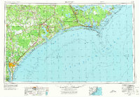
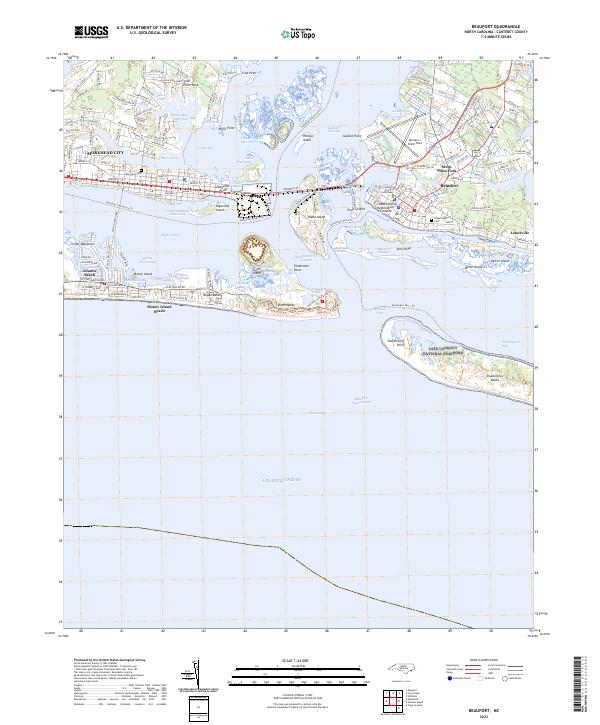
1953 Map of Beaufort
USGS Topo · Published 1965About this map
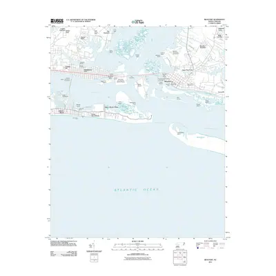
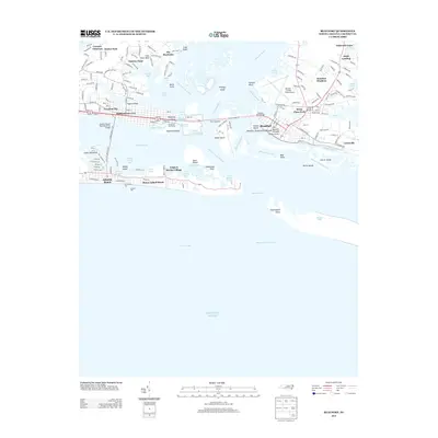
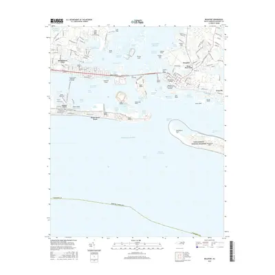
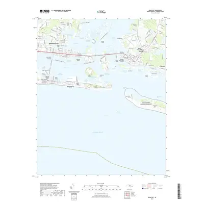
Camp Lejeune U.S. Naval Reservation and Cherry Point U.S. Naval Reservation dominate this mid-century coastal landscape, reflecting the massive military footprint established in North Carolina during the 1940s. The coastline is defined by the intricate barrier island systems of Shackleford Banks and Bogue Banks, which shelter Bogue Sound and the port of Morehead City. Inland, the terrain transitions into the dense, poorly drained pocosin of the Holly Shelter State Game Refuge and Croatan National Forest.
Find a feature on this map
217 named features on this map. Tap any name to fly to it.
Don’t see what you’re looking for? This feature index may not catch every label — zoom into the map to look around manually.
Map Details
Editions of this 1953 Beaufort Map
3 editions found
Historical Maps of Wilmington Through Time
10 maps found
1949 Beaufort
Carteret County, NC
1951 Beaufort
Carteret County, NC
1953 Beaufort
Carteret County, NC

1954 Beaufort
Carteret County, NC

1972 Beaufort
Carteret County, NC
2011 Beaufort
Carteret County, NC
2013 Beaufort
Carteret County, NC
2016 Beaufort
Carteret County, NC
2019 Beaufort
Carteret County, NC
2022 Beaufort
Carteret County, NC