
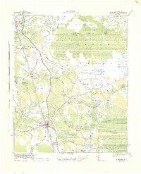
1942 Map of Topsail
USGS Topo · Published 1942About this map
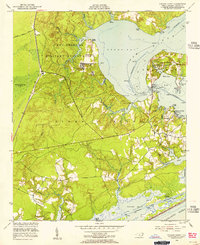
Holly Shelter Swamp dominates the western interior of this wartime coastal survey, where the Atlantic Coastline Railroad cuts a diagonal path toward the military complex at Camp Davis. Along the intricate shoreline of Topsail Sound, a dense network of private and commercial landings reflects a localized maritime economy before modern development transformed the barrier islands. Family-named sites like Sears Landing, Nixon Landing, and Bellamy Landing served as vital access points for residents in Hampstead and Holly Ridge. The inland landscape is characterized by dense wetlands such as Trumpeter Swamp and Thoroughfare Thickel Swamp, while the presence of a Firing Range near Sears Landing underscores the region's mobilization during the early 1940s. This document captures the transition from a quiet rural coastline to a strategically important coastal corridor.
Find a feature on this map
68 named features on this map. Tap any name to fly to it.
Don’t see what you’re looking for? This feature index may not catch every label — zoom into the map to look around manually.
Map Details
Editions of this 1942 Topsail Map
This is the sole edition of this map. No revisions or reprints were ever made.
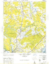
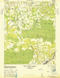
Other maps of this area

1942 · Spicer Bay
USGS Topo · 1:62,500
1942 · Burgaw
USGS Topo · 1:62,500

1942 · Wilmington
USGS Topo · 1:62,500
1947 · Rocky Point
USGS Topo · 1:62,500
1948 · Maple Hill
USGS Topo · 1:62,500

1948 · Topsail
USGS Topo · 1:62,500

1948 · Wilmington
USGS Topo · 1:62,500
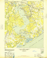
1948 · New River
USGS Topo · 1:62,500
1952 · Spicer Bay
USGS Topo · 1:24,000
1952 · Sneads Ferry
USGS Topo · 1:24,000