
1952 Map of Sneads Ferry
USGS Topo · Published 1955About this map
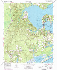
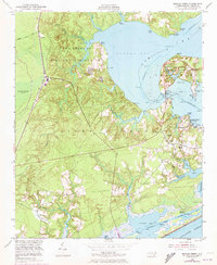
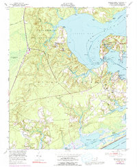
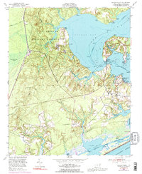
Sneads Ferry serves as the focal point of this coastal survey, situated where the New River meets the labyrinthine waters of Stump Sound. The landscape is defined by its transition from the dense, swampy interior of the Great Sandy Run Pocosin to a shoreline dotted with historical landings such as Fulcher Landing, Stones Landing, and Foys Landing. This era captures a maritime and agricultural community in the midst of military expansion, with a significant portion of the land designated as the Camp Lejeune Military Reservation.
Find a feature on this map
44 named features on this map. Tap any name to fly to it.
Don’t see what you’re looking for? This feature index may not catch every label — zoom into the map to look around manually.
Map Details
Editions of this 1952 Sneads Ferry Map
5 editions found
Other maps of this area

1942 · Spicer Bay
USGS Topo · 1:62,500

1942 · Topsail
USGS Topo · 1:62,500

1948 · Maple Hill
USGS Topo · 1:62,500

1948 · Topsail
USGS Topo · 1:62,500

1948 · New River
USGS Topo · 1:62,500

1952 · Camp Lejeune
USGS Topo · 1:24,000

1952 · Jacksonville South
USGS Topo · 1:24,000

1952 · Spicer Bay
USGS Topo · 1:24,000

1952 · New River Inlet
USGS Topo · 1:24,000

1953 · Beaufort
USGS Topo · 1:250,000
Featured Places
- Sneads Ferry, NC
- Holly Ridge, NC
- North Topsail Beach, NC
- Marine Corps Base Camp Lejeune, NC
- Fulcher Landing, NC