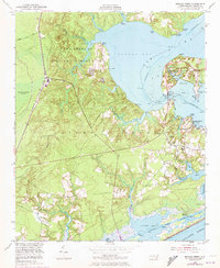
1952 Map of Sneads Ferry
USGS Topo · Published 1973About this map
Camp Lejeune Military Reservation dominates the northern reaches of this coastal landscape, bordering the expansive waters of Stones Bay and the New River. The southern half of the sheet reveals the tidal complexities of Stump Sound and Chadwick Bay, where the Intracoastal Waterway cuts through the marshlands toward the Atlantic Ocean. Local commerce and transportation are anchored at Sneads Ferry, where the Sneads Ferry Bridge provides a vital link across the water. Small settlements and landings like Fulcher Landing, Sandford Landing, and Chadwick Acres dot the shoreline, reflecting the maritime character of Onslow County. Further inland, the Seaboard Coast Line railroad runs past Dixon, while local landmarks like Topps Church and Little Zion Church serve as historical markers for the surrounding community.
Find a feature on this map
44 named features on this map. Tap any name to fly to it.
Don’t see what you’re looking for? This feature index may not catch every label — zoom into the map to look around manually.
Map Details
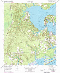
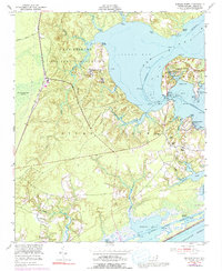
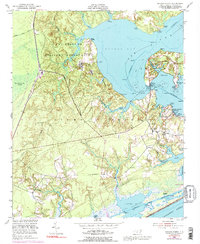
Editions of this 1952 Sneads Ferry Map
5 editions found
Other maps of this area

1942 · Spicer Bay
USGS Topo · 1:62,500

1942 · Topsail
USGS Topo · 1:62,500

1948 · Maple Hill
USGS Topo · 1:62,500

1948 · Topsail
USGS Topo · 1:62,500

1948 · New River
USGS Topo · 1:62,500

1952 · Camp Lejeune
USGS Topo · 1:24,000

1952 · Jacksonville South
USGS Topo · 1:24,000

1952 · Spicer Bay
USGS Topo · 1:24,000

1952 · New River Inlet
USGS Topo · 1:24,000

1952 · Sneads Ferry
USGS Topo · 1:24,000
Featured Places
- Sneads Ferry, NC
- Holly Ridge, NC
- North Topsail Beach, NC
- Marine Corps Base Camp Lejeune, NC
- Fulcher Landing, NC