
1952 Map of Spicer Bay
USGS Topo · Published 1955About this map
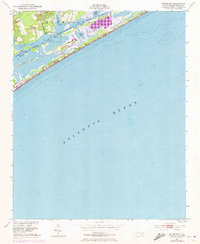
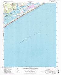
Tar Landing sits at the edge of the coastal marshes in this early 1950s survey of the Onslow County shoreline. The landscape is defined by the intricate network of the Intracoastal Waterway, which maintains a Project Depth of 12 Feet as it threads through Stump Sound and Spicer Bay. These protected waters are shielded from the Atlantic Ocean by a series of narrow landforms, including Ashe Island and Permuda Island.
Find a feature on this map
16 named features on this map. Tap any name to fly to it.
Don’t see what you’re looking for? This feature index may not catch every label — zoom into the map to look around manually.
Map Details
Editions of this 1952 Spicer Bay Map
3 editions found
Other maps of this area

1942 · Spicer Bay
USGS Topo · 1:62,500

1942 · Topsail
USGS Topo · 1:62,500

1948 · Maple Hill
USGS Topo · 1:62,500

1948 · Topsail
USGS Topo · 1:62,500

1948 · New River
USGS Topo · 1:62,500

1952 · New River Inlet
USGS Topo · 1:24,000

1952 · Sneads Ferry
USGS Topo · 1:24,000

1953 · Beaufort
USGS Topo · 1:250,000

1954 · Beaufort
USGS Topo · 1:250,000
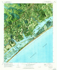
1970 · Holly Ridge
USGS Topo · 1:24,000
Featured Places
- Holly Ridge, NC
- North Topsail Beach, NC
- Thomas Landing, NC
- Ocean City Beach, North Topsail Beach
- Onslow County, NC