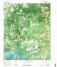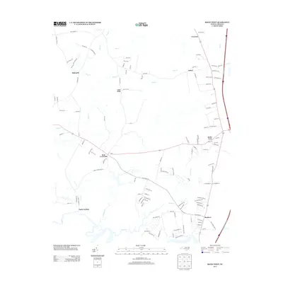
1947 Map of Rocky Point
USGS Topo · Published 1947About this map
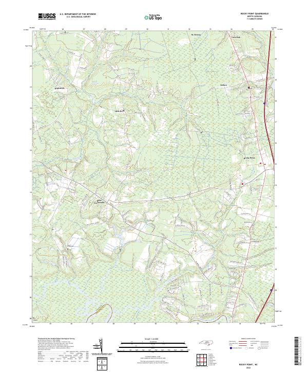
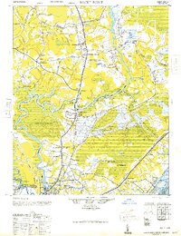
The Northeast Cape Fear River dominates this mid-century landscape, snaking through a network of wetlands and swamps such as Trumpeter Swamp and Holly Shelter Bay. This area of Pender and New Hanover Counties shows a transition from rural agriculture to the developing outskirts of north Wilmington. The river serves as a natural boundary, while the Atlantic Coast Line Railroad and Seaboard Air Line Railway provide the essential industrial infrastructure of the era, cutting straight through the river's winding oxbows. Small communities and rural junctions define the social geography, including Rocky Point, Castle Hayne, and Bells Crossroads. Genealogists and local historians will find value in the specific locations of rural landmarks like Friendship Ch and the Wrightsboro Sch (N), as well as the numerous family-named roads that crisscross the lowlands between the river and the Inland Waterway.
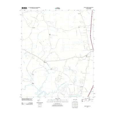
Find a feature on this map
55 named features on this map. Tap any name to fly to it.
Don’t see what you’re looking for? This feature index may not catch every label — zoom into the map to look around manually.
Map Details
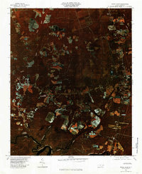
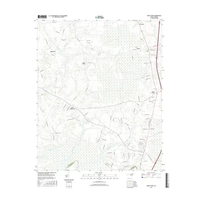
Editions of this 1947 Rocky Point Map
This is the sole edition of this map. No revisions or reprints were ever made.
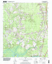
Historical Maps of Wilmington Through Time
9 maps found