
1904 Map of Trent River
USGS Topo · Published 1936About this map
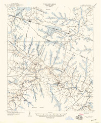
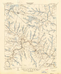
The Trent River snakes through a landscape of dense coastal wetlands and agrarian settlements in Jones County at the dawn of the twentieth century. The town of Trenton serves as a focal point along the river, which at this time supported a thriving network of maritime commerce as evidenced by numerous named riverfront sites such as White Bank Landing, Wooten Landing, and Log Landing. Further north, the Atlantic and North Carolina railroad bisects the terrain, connecting Dover and Cove while skirting the expansive Great Dover Swamp. This survey illustrates a transitional era where traditional river-based transport remained vital alongside the expanding influence of the railroad and a burgeoning Tram Road network, likely associated with the region's timber industry. Notable crossings like Quaker Bridge and Wilcox Bridge emphasize the importance of established land routes through the intricate system of branches and pocosons.
Find a feature on this map
71 named features on this map. Tap any name to fly to it.
Don’t see what you’re looking for? This feature index may not catch every label — zoom into the map to look around manually.
Map Details
Editions of this 1904 Trent River Map
3 editions found
Other maps of this area

1901 · New Bern
USGS Topo · 1:62,500

1902 · Ayden
USGS Topo · 1:62,500

1902 · Vanceboro
USGS Topo · 1:62,500

1903 · New Bern
USGS Topo · 1:62,500

1903 · Trent River
USGS Topo · 1:62,500

1904 · Ayden
USGS Topo · 1:62,500

1904 · Vanceboro
USGS Topo · 1:62,500

1905 · Vanceboro
USGS Topo · 1:62,500

1914 · Kinston
USGS Topo · 1:48,000

1916 · Kinston
USGS Topo · 1:62,500