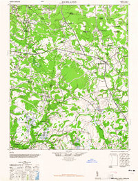
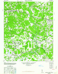
1965 Map of Richlands
USGS Topo · Published 1965About this map
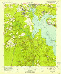
Richlands serves as the focal point of this mid-century landscape, situated where the New River meets a network of coastal wetlands. The geography is defined by distinctive wetland basins known as pocosins, most notably the evocatively named Hell Pocosin and Purgatory Pocosin in the northeastern quadrant. These low-lying areas create a natural boundary for rural settlements such as Huffmantown, Jarmantown, and Ervintown, which are linked by a developing road system crossing Mill Swamp and Little Limestone Swamp.
Find a feature on this map
40 named features on this map. Tap any name to fly to it.
Don’t see what you’re looking for? This feature index may not catch every label — zoom into the map to look around manually.
Map Details
Editions of this 1965 Richlands Map
This is the sole edition of this map. No revisions or reprints were ever made.
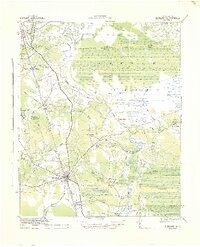
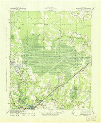
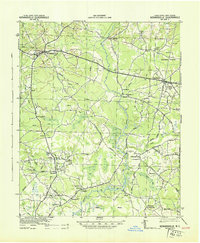
Other maps of this area

1903 · Trent River
USGS Topo · 1:62,500

1904 · Trent River
USGS Topo · 1:62,500
1942 · Burgaw
USGS Topo · 1:62,500
1943 · Jacksonville
USGS Topo · 1:62,500
1943 · Kenansville
USGS Topo · 1:62,500
1948 · Kenansville
USGS Topo · 1:62,500
1948 · Maple Hill
USGS Topo · 1:62,500
1948 · New River
USGS Topo · 1:62,500
1948 · Richlands
USGS Topo · 1:62,500
1952 · Jacksonville South
USGS Topo · 1:24,000