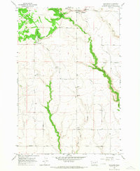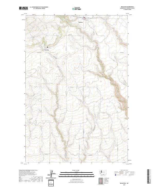
2023 Map of Bickleton
USGS Topo · Published 2023About this map
Bickleton and Cleveland serve as the primary focal points of this Klickitat County landscape, situated atop a plateau defined by deep drainage systems. The settlement at Cleveland is marked by the presence of the Cleveland Cem, a significant site for local genealogical research. The geography is characterized by a network of seasonal and perennial watercourses, including Wood Creek and Pine Creek, which have carved distinctive features such as Wood Gulch and Big Horn Canyon into the terrain. Transportation in the area relies on a grid of rural roads like the Bickleton Hwy and Mabton Hwy, illustrating the enduring connectivity between these high-country communities. The drainage patterns of White Creek and Alder Creek further underscore the hydrological character of this part of Washington, where the elevation and water flow dictate the placement of local homesteads and access routes.
Find a feature on this map
30 named features on this map. Tap any name to fly to it.
Don’t see what you’re looking for? This feature index may not catch every label — zoom into the map to look around manually.
Map Details
Editions of this 2023 Bickleton Map
This is the sole edition of this map. No revisions or reprints were ever made.