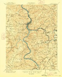
1912 Map of Big Bend
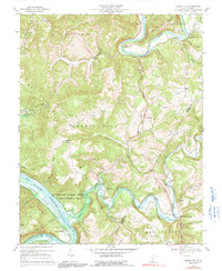
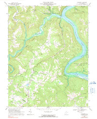
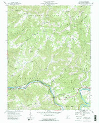
USGS Topo · Published 1964About this map
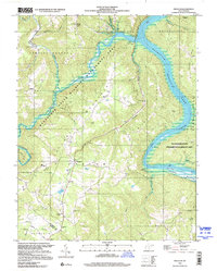
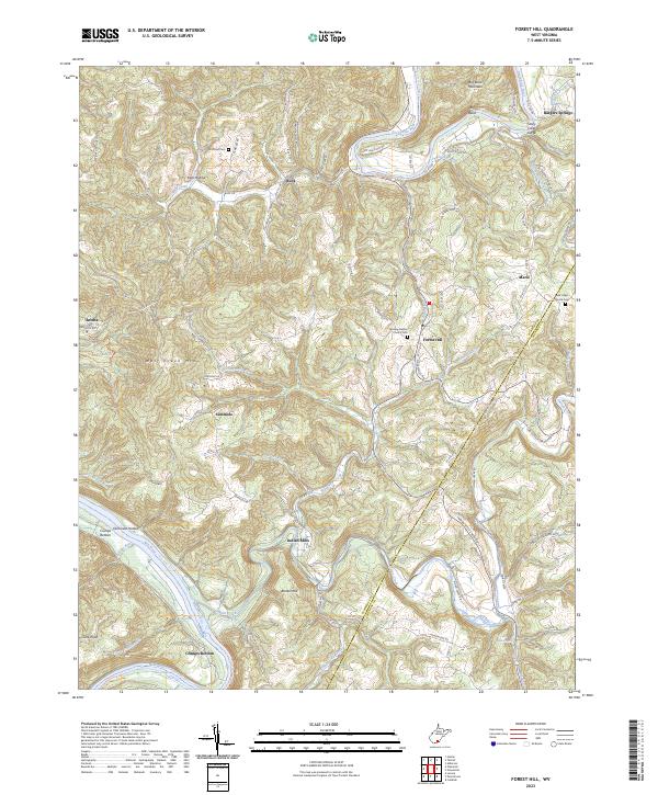
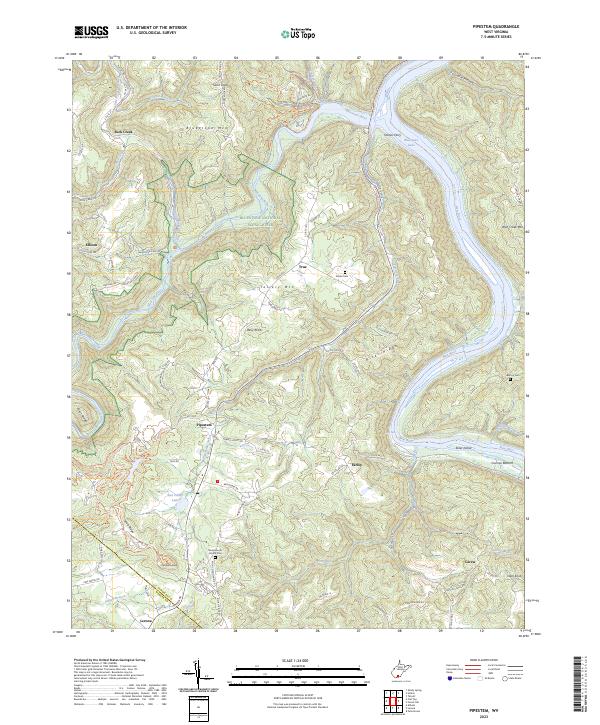
The New River and Greenbrier River converge at Hinton, forming a vital transportation hub in this early twentieth-century survey. The landscape is defined by the heavy infrastructure of the Chesapeake and Ohio RR, which follows the riverbanks and pierces the terrain at the massive Big Bend Tunnel near Talcott. This rugged river-and-rail economy is supported by numerous small settlements and localized services, including Packs Ferry PO and Haines Ferry, which facilitated movement across the deep river valleys before modern bridging.
Find a feature on this map
159 named features on this map. Tap any name to fly to it.
Don’t see what you’re looking for? This feature index may not catch every label — zoom into the map to look around manually.
Map Details
Editions of this 1912 Big Bend Map
This is the sole edition of this map. No revisions or reprints were ever made.
Historical Maps of Hinton Through Time
9 maps found