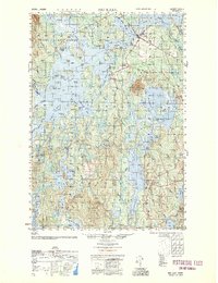
1952 Map of Big Lake
USGS Topo · Published 1952About this map
The Indian Township reservation and the township of Princeton anchor this topographic study, which highlights a landscape defined by an intricate network of glacial lakes and waterways. The central expanse of Big Lake is dotted with family-named islands such as Hanneman Island, Buckman Island, and Stone Island, suggesting a long history of local seasonal use and navigation. The settlement pattern is concentrated along the northeastern corridors, where Princeton serves as a hub near the convergence of Lewy Lake and the river systems.
Find a feature on this map
93 named features on this map. Tap any name to fly to it.
Don’t see what you’re looking for? This feature index may not catch every label — zoom into the map to look around manually.
Map Details
Editions of this 1952 Big Lake Map
This is the sole edition of this map. No revisions or reprints were ever made.
Other maps of this area
1929 · Calais
USGS Topo · 1:48,000
1932 · Calais
USGS Topo · 1:62,500
1940 · Waite
USGS Topo · 1:62,500
1940 · Kellyland
USGS Topo · 1:62,500
1941 · Scraggly Lake
USGS Topo · 1:62,500
1941 · Wesley
USGS Topo · 1:62,500
1941 · Gardner Lake
USGS Topo · 1:62,500
1941 · Tug Mountain
USGS Topo · 1:62,500
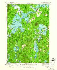
1941 · Big Lake
USGS Topo · 1:62,500
1941 · Wabassus Lake
USGS Topo · 1:62,500