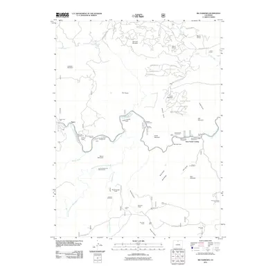
2011 Map of Big Narrows
USGS Topo · Published 2011About this map
The Cache la Poudre River carves a deep canyon through this Larimer County landscape, defining the character of Big Narrows and its surrounding peaks. This 2011 survey reveals a complex network of public lands and mountain recreation, centered around established camps such as Mountain Park Campground and Stove Prairie Landing Campground. The geography is marked by a history of resource extraction and family settlement, evident in the numerous mining claims like Lookout Lode and the Hole-in-the-Wall Mine near Bear Mountain.
Find a feature on this map
65 named features on this map. Tap any name to fly to it.
Don’t see what you’re looking for? This feature index may not catch every label — zoom into the map to look around manually.
Map Details
Editions of this 2011 Big Narrows Map
This is the sole edition of this map. No revisions or reprints were ever made.
Other maps of this area

1907 · Livermore
USGS Topo · 1:125,000

1909 · Livermore
USGS Topo · 1:125,000

1916 · Home
USGS Topo · 1:125,000

1920 · Home
USGS Topo · 1:125,000

1954 · Greeley
USGS Topo · 1:250,000

1957 · Greeley
USGS Topo · 1:250,000

1958 · Greeley
USGS Topo · 1:250,000

1960 · Haystack Gulch
USGS Topo · 1:24,000

1960 · Livermore Mountain
USGS Topo · 1:24,000

1961 · Greeley
USGS Topo · 1:250,000