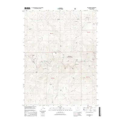
2016 Map of Big Narrows
USGS Topo · Published 2016About this map
Roosevelt National Forest serves as the backdrop for this high-altitude landscape, where the Cache la Poudre River cuts through the narrow canyons of Big Narrows and Little Narrows. The topography is defined by the steep elevation changes around Mt McConnel and the Mummy Range, punctuated by isolated pockets of level ground such as Dutch George Flats and Kelley Flats. Near the settlement of Eggers, the river is joined by the Elkhorn Cr, marking a vital waterway junction in the Front Range.
Find a feature on this map
51 named features on this map. Tap any name to fly to it.
Don’t see what you’re looking for? This feature index may not catch every label — zoom into the map to look around manually.
Map Details
Editions of this 2016 Big Narrows Map
This is the sole edition of this map. No revisions or reprints were ever made.
Other maps of this area

1907 · Livermore
USGS Topo · 1:125,000

1909 · Livermore
USGS Topo · 1:125,000

1916 · Home
USGS Topo · 1:125,000

1920 · Home
USGS Topo · 1:125,000

1954 · Greeley
USGS Topo · 1:250,000

1957 · Greeley
USGS Topo · 1:250,000

1958 · Greeley
USGS Topo · 1:250,000

1960 · Haystack Gulch
USGS Topo · 1:24,000

1960 · Livermore Mountain
USGS Topo · 1:24,000

1961 · Greeley
USGS Topo · 1:250,000