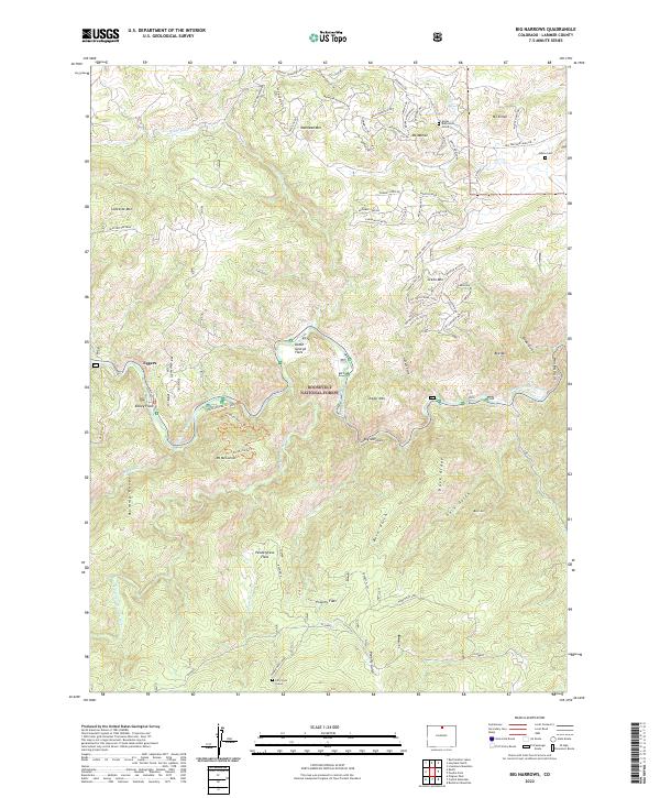
2022 Map of Big Narrows
USGS Topo · Published 2022About this map
Roosevelt National Forest dominates this mountain landscape, defined by the winding course of the Cache la Poudre Wild and Scenic River. Small settlements such as Eggers and open meadows like Kelley Flats mark the canyon floor, while the surrounding peaks and ridges, including Manhead Mtn and the Mummy Range, illustrate the complex topography of the Front Range. Isolated historical markers like the Azuba Batterson Grave near Mt Moriah and the Kitty-Lyon Grave along Pendergrass Cr offer distinct points of interest for genealogists tracing early residents in these high-altitude gulches. The transition from the canyon narrows at Big Narrows to the broader spaces of Pendergrass Flats reveals the varied geological character of the drainage basin, where tributaries like Elkhorn Cr and Bennett Cr meet the main river channel.
Find a feature on this map
85 named features on this map. Tap any name to fly to it.
Don’t see what you’re looking for? This feature index may not catch every label — zoom into the map to look around manually.
Map Details
Editions of this 2022 Big Narrows Map
This is the sole edition of this map. No revisions or reprints were ever made.
Other maps of this area

1907 · Livermore
USGS Topo · 1:125,000

1909 · Livermore
USGS Topo · 1:125,000

1916 · Home
USGS Topo · 1:125,000

1920 · Home
USGS Topo · 1:125,000

1954 · Greeley
USGS Topo · 1:250,000

1957 · Greeley
USGS Topo · 1:250,000

1958 · Greeley
USGS Topo · 1:250,000

1960 · Haystack Gulch
USGS Topo · 1:24,000

1960 · Livermore Mountain
USGS Topo · 1:24,000

1961 · Greeley
USGS Topo · 1:250,000