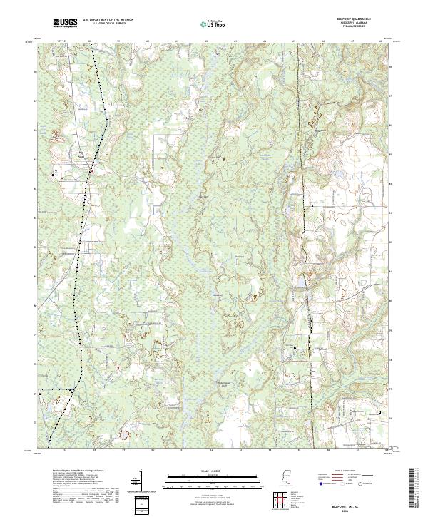
2024 Map of Big Point
USGS Topo · Published 2024About this map
The Escatawpa River defines the central corridor of this coastal Mississippi and Alabama landscape, creating a complex network of wetlands and riverine features. The river meanders through a series of distinctive elevations including Cowards Bluff, Sikes Bluff, and Miles Bluff, while the lowlands are dominated by named marshes like Black Creek Swamp and Red Oak Swamp. The settlement of Big Point sits near the western edge of the quadrangle, serving as a focal point for a community characterized by its proximity to these vast waterways and thick riparian terrain.
Find a feature on this map
108 named features on this map. Tap any name to fly to it.
Don’t see what you’re looking for? This feature index may not catch every label — zoom into the map to look around manually.
Map Details
Editions of this 2024 Big Point Map
This is the sole edition of this map. No revisions or reprints were ever made.