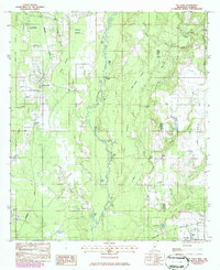
1982 Map of Big Point
USGS Topo · Published 1986About this map
The Es Catawpa River winds through a dense landscape of oxbow lakes and wetlands along the Mississippi-Alabama border. This mid-1980s provisional update highlights the rural community of Big Point, where local life is centered around landmarks like Temple Ch and the Big Point Cem. The terrain is defined by a complex network of named water bodies, including Petes Lake, Long Lake, and the uniquely named Fiddlers Sail.
Find a feature on this map
50 named features on this map. Tap any name to fly to it.
Don’t see what you’re looking for? This feature index may not catch every label — zoom into the map to look around manually.
Map Details
Editions of this 1982 Big Point Map
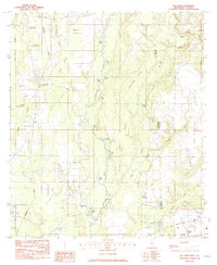
2 editions found
Other maps of this area

1921 · Grand Bay
USGS Topo · 1:62,500

1941 · Hurley
USGS Topo · 1:62,500

1941 · Vancleave
USGS Topo · 1:62,500

1943 · Pascagoula
USGS Topo · 1:62,500

1943 · Grand Bay
USGS Topo · 1:62,500

1943 · Hurley
USGS Topo · 1:62,500

1943 · Vancleave
USGS Topo · 1:62,500

1944 · Vancleave
USGS Topo · 1:62,500

1953 · Mobile
USGS Topo · 1:250,000

1955 · Pascagoula
USGS Topo · 1:62,500