
Loading...
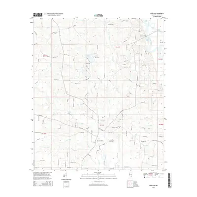
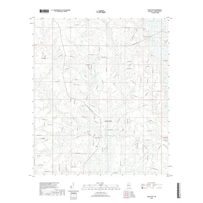
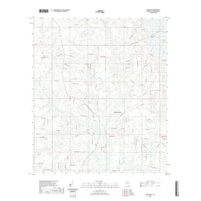
Loading map...1943 Map of Vancleave
USGS Topo · Published 1943About this map
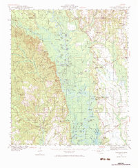
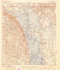
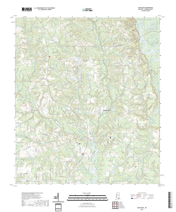
The Pascagoula River corridor defines this portion of Jackson County, weaving a complex network of bayous, oxbows, and dead rivers such as Stead Dead River and Ferrell Dead River. In the early 1940s, this landscape was a mosaic of rural settlements and landing points, reflecting a river-oriented economy before modern infrastructure altered the reach of the basin. The eastern bank is marked by the Export Mississippi RR and small timber-era hubs like Harleston and Wade.
Find a feature on this map
95 named features on this map. Tap any name to fly to it.
Don’t see what you’re looking for? This feature index may not catch every label — zoom into the map to look around manually.
Map Details
Date Portrayed1943
Date Published1943
PublisherU.S. Geological Survey
Map TypeTopographic
Scale1:62,500
Physical Dimensions17.9 x 20.8 inches
Editions of this 1943 Vancleave Map
This is the sole edition of this map. No revisions or reprints were ever made.
Historical Maps of Coll Town Through Time
9 maps found
Featured Locations
Source Details
SourceU.S. Geological Survey
CopyrightPublic Domain