1943 Map of Grand Bay
USGS Topo · Published 1943About this map
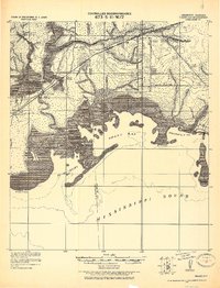
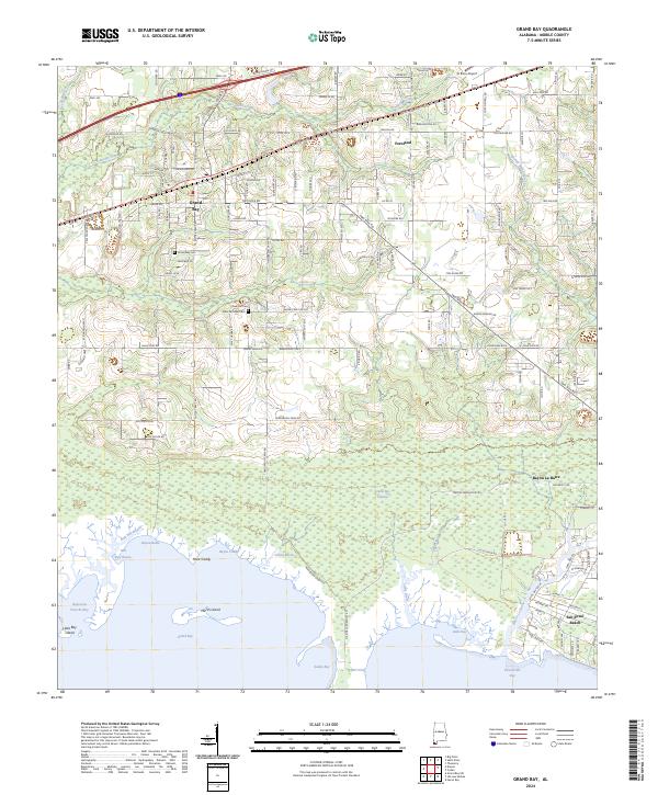
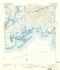
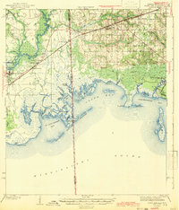
The coastal transition from Mississippi into Alabama is defined by the intricate labyrinth of bayous and islands surveyed in the early 1940s. Centered on the Grand Bay region, the landscape reveals a complex network of waterways including the Escawpa River and the sweeping Portersville Bay. The industrial and transport backbone of the era is clearly marked by the Louisville and Nashville railroad, which connects settlements like Moss Point, Kreole, and Grand Bay. Local community landmarks, such as the Orange Lake Sch, appear alongside working waterfronts in Bayou La Batre and Coden. This survey illustrates a coastal economy deeply tied to the water, where the salt marshes and islands like Marsh Island and Isle aux Dame protected the mainland during a period of expanding rail and road infrastructure.
Find a feature on this map
66 named features on this map. Tap any name to fly to it.
Don’t see what you’re looking for? This feature index may not catch every label — zoom into the map to look around manually.
Map Details
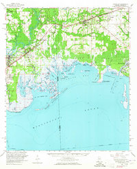
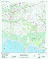
Editions of this 1943 Grand Bay Map
2 editions found
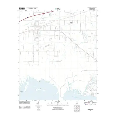
Historical Maps of Moss Point Through Time
9 maps found