
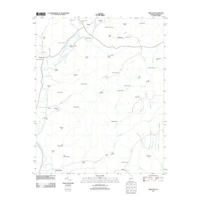
1921 Map of Petit Bois Island
USGS Topo · Published 1921About this map
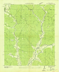
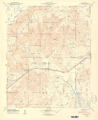
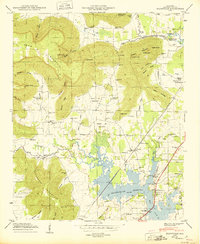
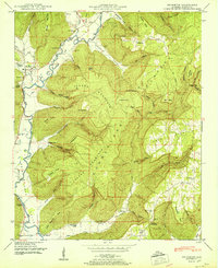
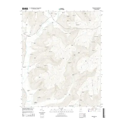
Petit Bois Island stretches across the maritime frontier of the Gulf Coast, serving as a narrow barrier between the open Gulf of Mexico and the Mississippi Sound. Produced by the Corps of Engineers under the direction of Col. W. M. Black, this reconnaissance survey documents the island's shifting sands and military significance following the turn of the century. The Alabama Mississippi Boundary Line bisects the island, marking a political division in an otherwise fluid coastal landscape. Of particular interest to maritime historians is the Horn Light. located off the western tip and the U.S. Gov't Reservation established on the eastern half. The map details natural features like East Point and a freshwater Spring, highlighting the island's strategic role in the land approaches to coastal fortifications during this era.
Find a feature on this map
9 named features on this map. Tap any name to fly to it.
Don’t see what you’re looking for? This feature index may not catch every label — zoom into the map to look around manually.
Map Details
Editions of this 1921 Petit Bois Island Map
This is the sole edition of this map. No revisions or reprints were ever made.
Historical Maps of Dauphin Island Through Time
77 maps found
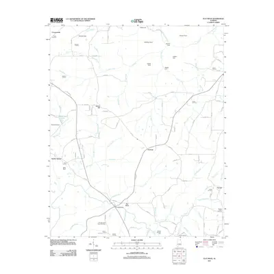
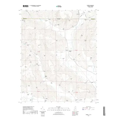
1921 Petit Bois Island
Jackson County, AL

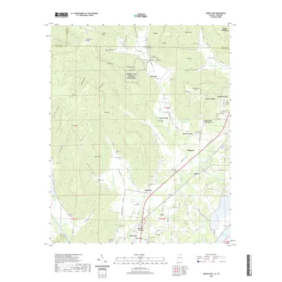
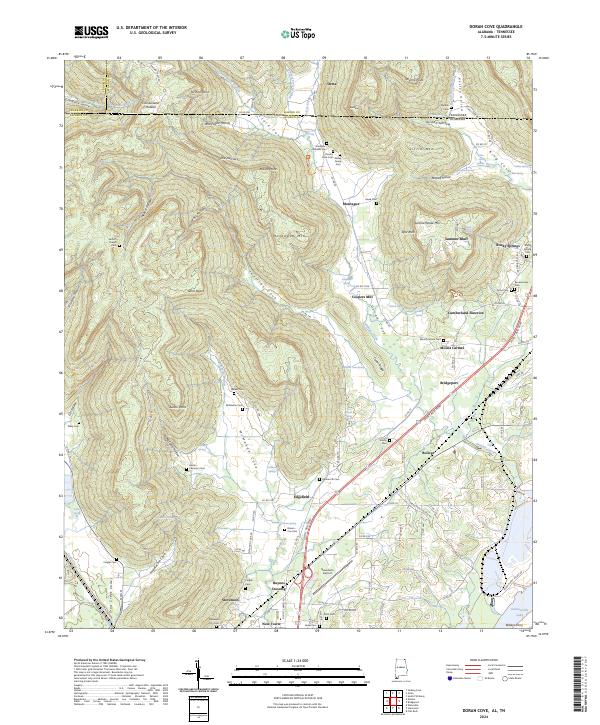
1936 Doran Cove
Jackson County, AL

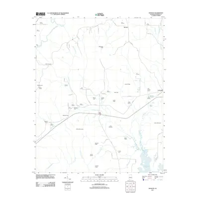
1936 Eureka
Jackson County, AL

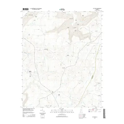
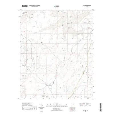
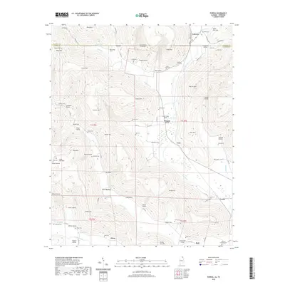
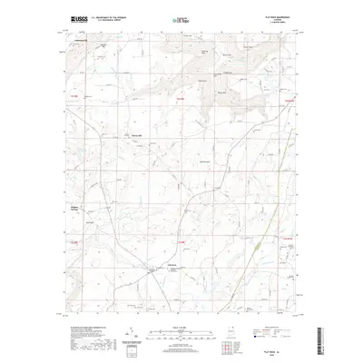
1936 Flat Rock
Jackson County, AL

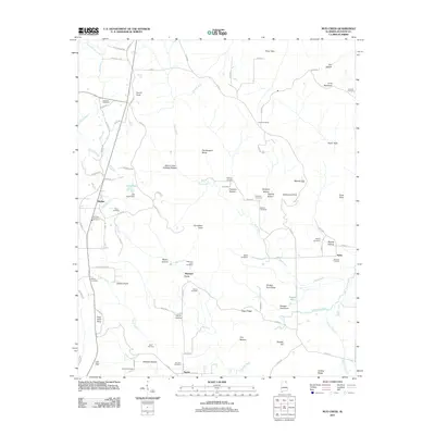
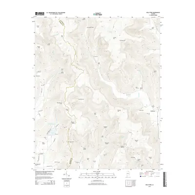
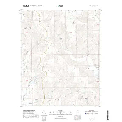
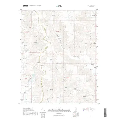
1936 Hollytree
Jackson County, AL

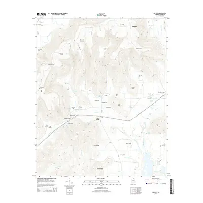
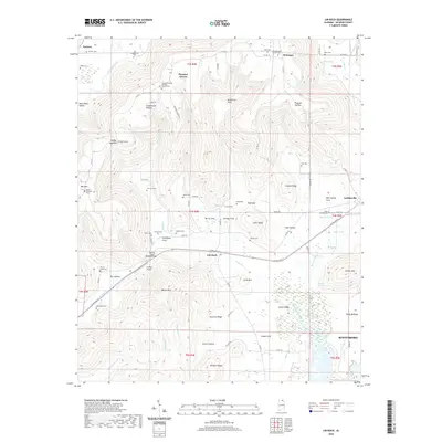
1936 Lim Rock
Jackson County, AL

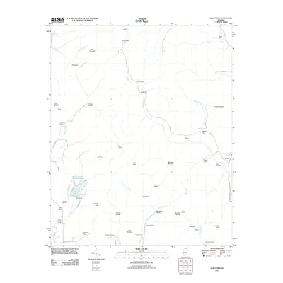
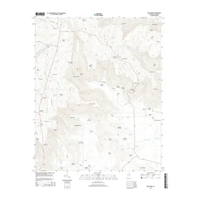
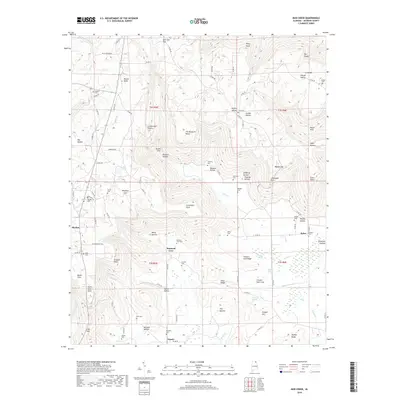
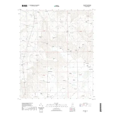
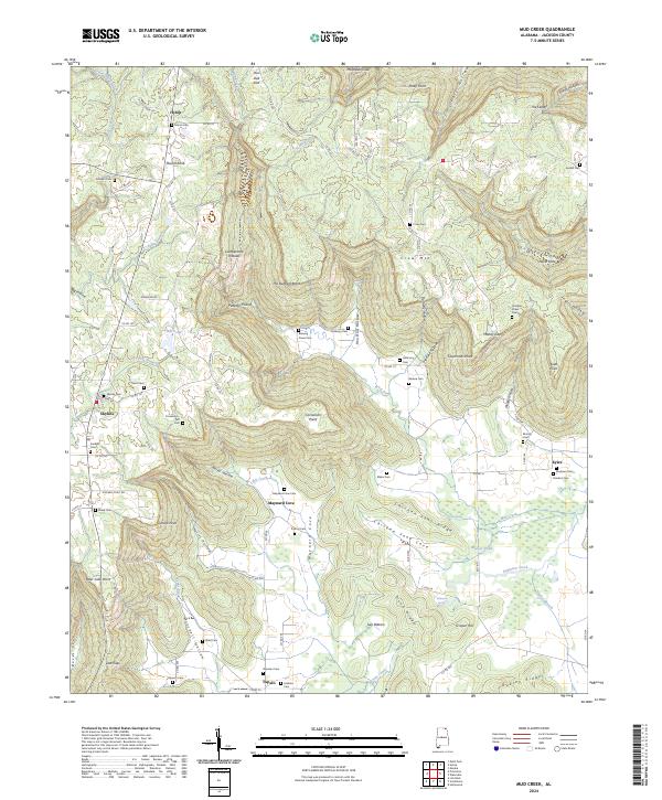
1936 Mud Creek
Jackson County, AL

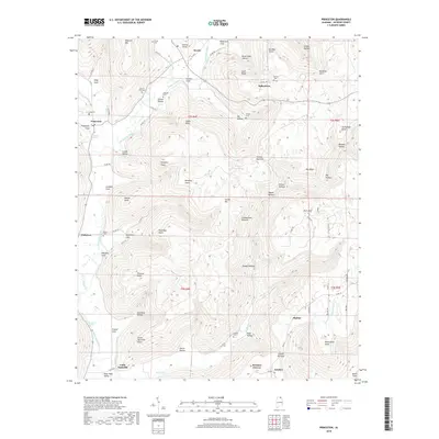
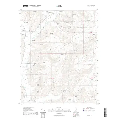
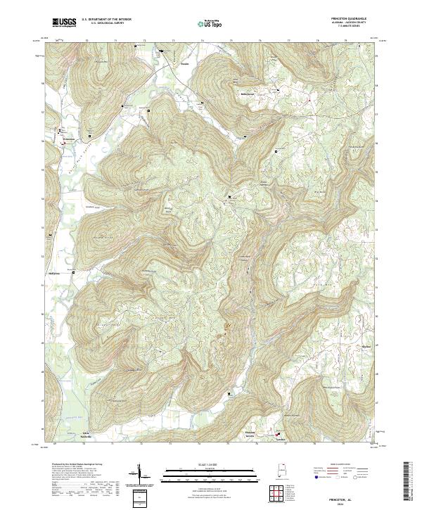
1936 Princeton
Jackson County, AL

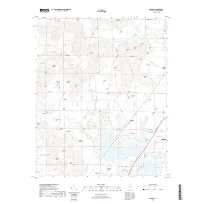
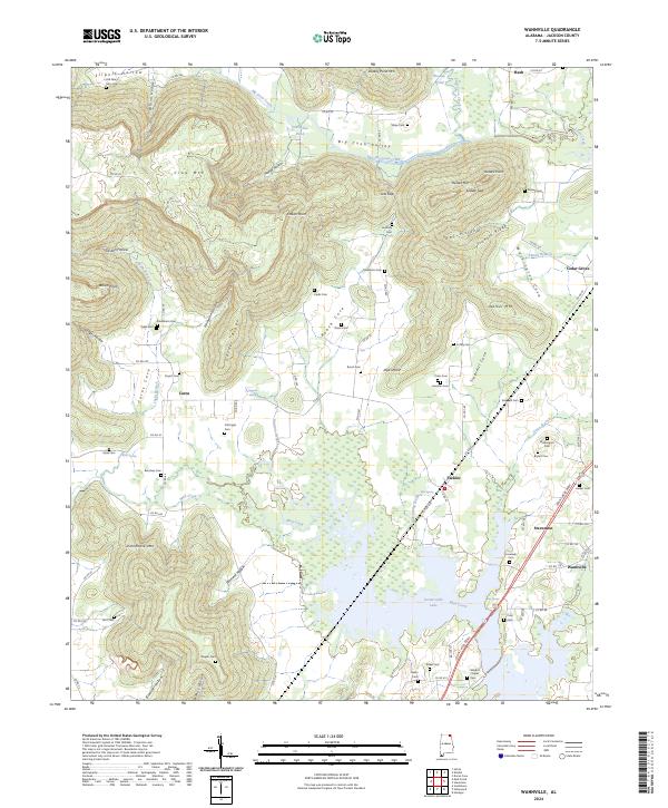
1936 Wannville
Jackson County, AL
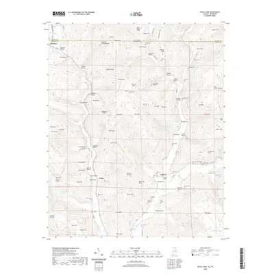
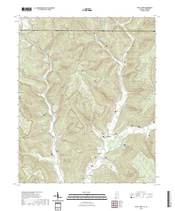
1939 Estill Fork
Jackson County, AL

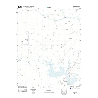
1942 Petit Bois Island
Jackson County, AL
1946 Flat Rock
Jackson County, AL
1947 Eureka
Jackson County, AL
1947 Lim Rock
Jackson County, AL

1947 Wannville
Jackson County, AL
1948 Estill Fork
Jackson County, AL
1948 Hollytree
Jackson County, AL

1948 Mud Creek
Jackson County, AL
1948 Princeton
Jackson County, AL

1950 Doran Cove
Jackson County, AL

1950 Eureka
Jackson County, AL
1950 Lim Rock
Jackson County, AL
1950 Wannville
Jackson County, AL
1951 Estill Fork
Jackson County, AL
1951 Hollytree
Jackson County, AL
1951 Mud Creek
Jackson County, AL
1951 Princeton
Jackson County, AL
1967 Doran Cove
Jackson County, AL
2010 Doran Cove
Jackson County, AL
2010 Estill Fork
Jackson County, AL
2010 Eureka
Jackson County, AL
2011 Doran Cove
Jackson County, AL
2011 Estill Fork
Jackson County, AL
2011 Eureka
Jackson County, AL
2011 Flat Rock
Jackson County, AL
2011 Hollytree
Jackson County, AL
2011 Lim Rock
Jackson County, AL
2011 Mud Creek
Jackson County, AL
2011 Princeton
Jackson County, AL
2011 Wannville
Jackson County, AL

2014 Doran Cove
Jackson County, AL
2014 Estill Fork
Jackson County, AL
2014 Eureka
Jackson County, AL
2014 Flat Rock
Jackson County, AL
2014 Hollytree
Jackson County, AL
2014 Lim Rock
Jackson County, AL
2014 Mud Creek
Jackson County, AL
2014 Princeton
Jackson County, AL
2014 Wannville
Jackson County, AL
2018 Doran Cove
Jackson County, AL
2018 Estill Fork
Jackson County, AL
2018 Eureka
Jackson County, AL
2018 Flat Rock
Jackson County, AL
2018 Hollytree
Jackson County, AL

2018 Lim Rock
Jackson County, AL
2018 Mud Creek
Jackson County, AL
2018 Princeton
Jackson County, AL
2018 Wannville
Jackson County, AL
2020 Doran Cove
Jackson County, AL
2020 Estill Fork
Jackson County, AL
2020 Eureka
Jackson County, AL
2020 Flat Rock
Jackson County, AL
2020 Hollytree
Jackson County, AL
2020 Lim Rock
Jackson County, AL
2020 Mud Creek
Jackson County, AL
2020 Princeton
Jackson County, AL

2020 Wannville
Jackson County, AL
2024 Doran Cove
Jackson County, AL
2024 Estill Fork
Jackson County, AL
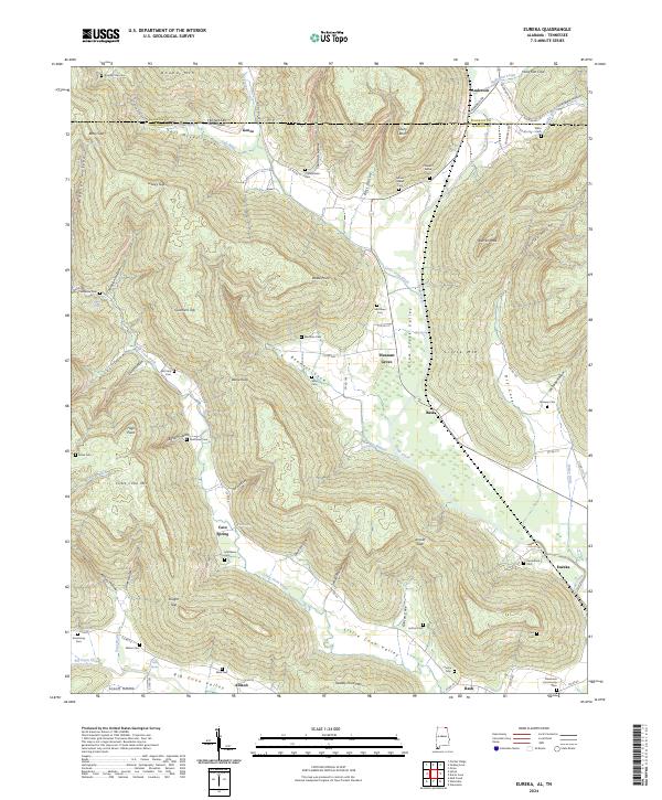
2024 Eureka
Jackson County, AL
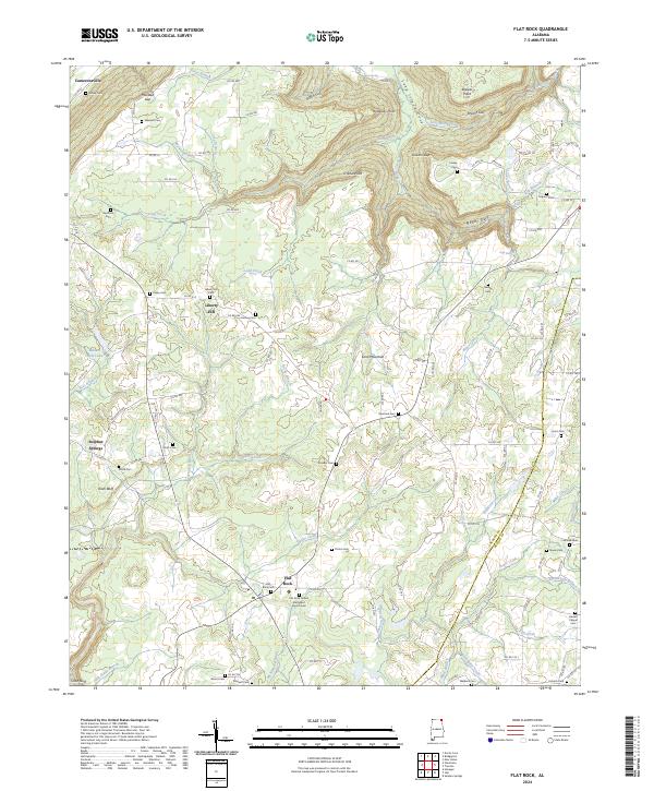
2024 Flat Rock
Jackson County, AL
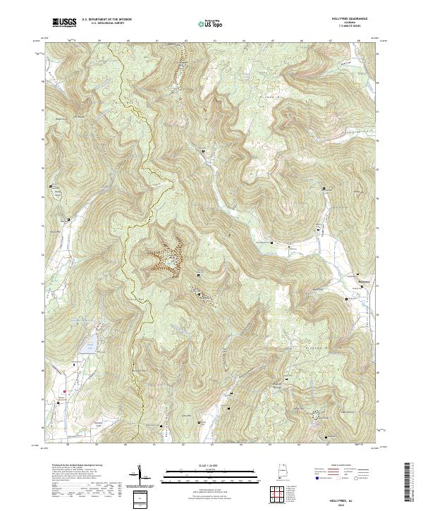
2024 Hollytree
Jackson County, AL
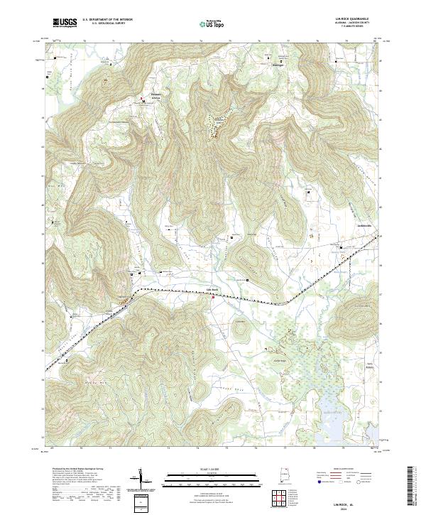
2024 Lim Rock
Jackson County, AL
2024 Mud Creek
Jackson County, AL
2024 Princeton
Jackson County, AL
2024 Wannville
Jackson County, AL
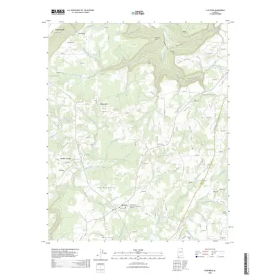
2026 Flat Rock
Jackson County, AL