
1942 Map of Fort Morgan
USGS Topo · Published 1942About this map
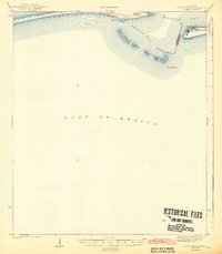
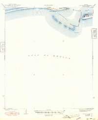
Fort Morgan and the defensive remnants of Fort Gaines anchor the mouth of Mobile Bay in this coastal survey conducted just before the United States entered World War II. The map details the strategic maritime gateway between Mobile Point and the eastern tip of Dauphin Island, where the Main Channel provides the primary deep-water access from the Gulf of Mexico. Historical navigation is marked by the Sand Island L H, positioned near the shifting sands of Pelican Island and its surrounding shoals.
Find a feature on this map
19 named features on this map. Tap any name to fly to it.
Don’t see what you’re looking for? This feature index may not catch every label — zoom into the map to look around manually.
Map Details
Editions of this 1942 Fort Morgan Map
3 editions found
Other maps of this area

1921 · Grand Bay
USGS Topo · 1:62,500

1921 · Petit Bois Island
USGS Topo · 1:62,500

1921 · Point Clear
USGS Topo · 1:62,500

1921 · Dauphin Island
USGS Topo · 1:62,500

1921 · Delchamps
USGS Topo · 1:62,500

1941 · Cedar Point
USGS Topo · 1:62,500

1941 · Weeks Bay
USGS Topo · 1:62,500

1942 · Petit Bois Island
USGS Topo · 1:62,500

1943 · Cedar Point
USGS Topo · 1:62,500

1943 · Weeks Bay
USGS Topo · 1:62,500