Loading...
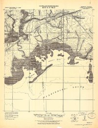
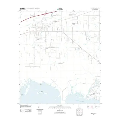
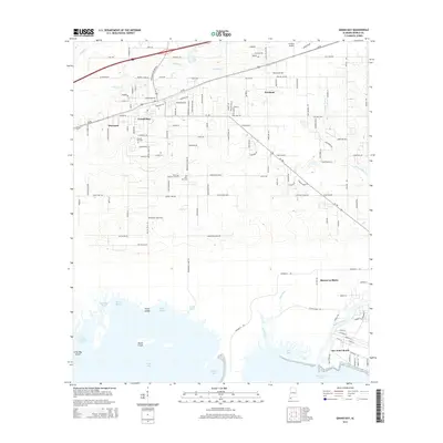
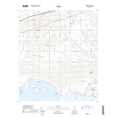
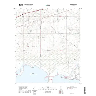
Loading map...1921 Map of Grand Bay
USGS Topo · Published 1921About this map
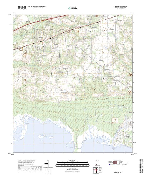
The Mississippi Alabama State Line bisects this coastal survey, where the marshlands of the Gulf South meet early 20th-century industry. The northern reaches of the map show the impact of the Louisville & Nashville R. R., which anchored small settlements like Pecan and Grand Bay. This rail connection facilitated the transport of local goods, particularly from the prominent Oyster factory located on the eastern shore of Portersville Bay.
Find a feature on this map
22 named features on this map. Tap any name to fly to it.
Don’t see what you’re looking for? This feature index may not catch every label — zoom into the map to look around manually.
Map Details
Date Portrayed1921
Date Published1921
PublisherU.S. Geological Survey
Map TypeTopographic
Scale1:62,500
Physical Dimensions16.79 x 22.01 inches
Editions of this 1921 Grand Bay Map
This is the sole edition of this map. No revisions or reprints were ever made.
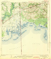
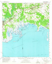
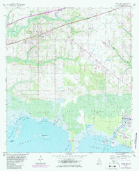
Historical Maps of Moss Point Through Time
9 maps found
Featured Locations
Source Details
SourceU.S. Geological Survey
CopyrightPublic Domain