
1955 Map of Pascagoula
USGS Topo · Published 1956About this map
Pascagoula and Moss Point serve as the industrial and social anchors of the Mississippi coast in this mid-century survey. The landscape is defined by the complex delta where the Pascagoula River and West Pascagoula River meet the Mississippi Sound. This intricate network of bayous and lakes, including Dead River and Buzzard Lake, underscores the region's historical reliance on water for transport and industry.
Find a feature on this map
95 named features on this map. Tap any name to fly to it.
Don’t see what you’re looking for? This feature index may not catch every label — zoom into the map to look around manually.
Map Details
Editions of this 1955 Pascagoula Map
4 editions found
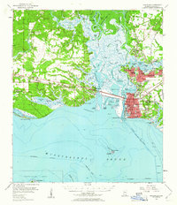
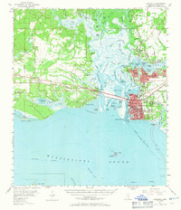
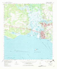
Other maps of this area

1921 · Grand Bay
USGS Topo · 1:62,500

1921 · Petit Bois Island
USGS Topo · 1:62,500

1941 · Hurley
USGS Topo · 1:62,500

1941 · Vancleave
USGS Topo · 1:62,500

1941 · Horn Island
USGS Topo · 1:62,500

1942 · Petit Bois Island
USGS Topo · 1:62,500

1942 · Horn Island
USGS Topo · 1:62,500

1943 · Pascagoula
USGS Topo · 1:62,500

1943 · Grand Bay
USGS Topo · 1:62,500

1943 · Hurley
USGS Topo · 1:62,500