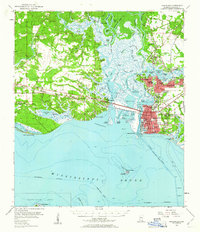
1955 Map of Pascagoula
USGS Topo · Published 1961About this map
The Pascagoula River system dominates this mid-century survey, revealing a landscape defined by the intricate waterways of the West Pascagoula River and the Escatawpa River. Industrial and civic growth are visible in the concentrated urban centers of Pascagoula and Moss Point, where a dense network of schools like Magnolia High Sch and St Peters Sch serve the expanding population. Along the coast, Pascagoula Bay and the Mississippi Sound anchor the region, with the Louisville and Nashville railroad providing the vital terrestrial link between settlements like Gautier and Fontainebleau. This era shows a mix of maritime heritage and modern utility, from the abandoned Lighthouse on Round Island to the commercial presence of the Brickyard and the Fish Hatchery. Local history is deeply rooted in the land, marked by numerous sites such as the Old Spanish Fort and several family or community burial grounds including Martin Bluff Cem and Mormon Cem.
Find a feature on this map
104 named features on this map. Tap any name to fly to it.
Don’t see what you’re looking for? This feature index may not catch every label — zoom into the map to look around manually.
Map Details
Editions of this 1955 Pascagoula Map
4 editions found

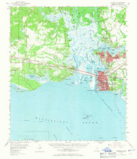
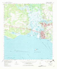
Other maps of this area

1921 · Grand Bay
USGS Topo · 1:62,500

1921 · Petit Bois Island
USGS Topo · 1:62,500

1941 · Hurley
USGS Topo · 1:62,500

1941 · Vancleave
USGS Topo · 1:62,500

1941 · Horn Island
USGS Topo · 1:62,500

1942 · Petit Bois Island
USGS Topo · 1:62,500

1942 · Horn Island
USGS Topo · 1:62,500

1943 · Pascagoula
USGS Topo · 1:62,500

1943 · Grand Bay
USGS Topo · 1:62,500

1943 · Hurley
USGS Topo · 1:62,500