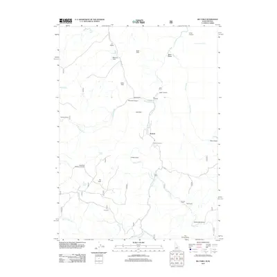
2012 Map of Big Table
USGS Topo · Published 2012About this map
Rowland sits at the heart of this high-desert landscape, anchored by the presence of the Bueasta Post Office near the banks of the Bruneau River. The settlement pattern is defined by traditional ranching operations scattered throughout the drainage systems, including the Old Scott Ranch, Mink Ranch, and Hall Ranch. The terrain is characterized by a series of distinct plateaus and draws, most notably Big Table and the Scott Table, which overlook deep-cut passages like Robinson Canyon and Cedar Canyon.
Find a feature on this map
39 named features on this map. Tap any name to fly to it.
Don’t see what you’re looking for? This feature index may not catch every label — zoom into the map to look around manually.
Map Details
Editions of this 2012 Big Table Map
This is the sole edition of this map. No revisions or reprints were ever made.
Other maps of this area

1936 · Mountain City
USGS Topo · 1:62,500

1936 · Rowland
USGS Topo · 1:48,000

1940 · Rowland
USGS Topo · 1:62,500

1940 · Mountain City
USGS Topo · 1:62,500

1955 · Twin Falls
USGS Topo · 1:250,000

1955 · Wells
USGS Topo · 1:250,000

1958 · Wells
USGS Topo · 1:250,000

1958 · Twin Falls
USGS Topo · 1:250,000

1961 · Wells
USGS Topo · 1:250,000

1979 · Cowan Reservoir
USGS Topo · 1:24,000