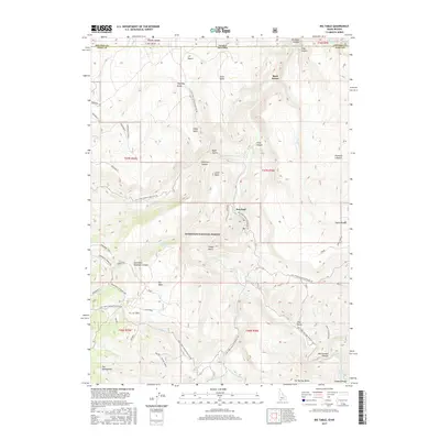
2017 Map of Big Table
USGS Topo · Published 2017About this map
The Bruneau River carves through a landscape of high plateaus and high-desert basins along the border of Elko County and the state of Idaho. This high-altitude terrain within the Humboldt National Forest is characterized by its prominent volcanic and sedimentary formations, including Big Table, Scott Table, and Casey Table. The settlement of Rowland serves as a lone point of habitation in this expansive backcountry, situated near the confluence of several drainages.
Find a feature on this map
71 named features on this map. Tap any name to fly to it.
Don’t see what you’re looking for? This feature index may not catch every label — zoom into the map to look around manually.
Map Details
Editions of this 2017 Big Table Map
This is the sole edition of this map. No revisions or reprints were ever made.
Other maps of this area

1936 · Mountain City
USGS Topo · 1:62,500

1936 · Rowland
USGS Topo · 1:48,000

1940 · Rowland
USGS Topo · 1:62,500

1940 · Mountain City
USGS Topo · 1:62,500

1955 · Twin Falls
USGS Topo · 1:250,000

1955 · Wells
USGS Topo · 1:250,000

1958 · Wells
USGS Topo · 1:250,000

1958 · Twin Falls
USGS Topo · 1:250,000

1961 · Wells
USGS Topo · 1:250,000

1979 · Cowan Reservoir
USGS Topo · 1:24,000