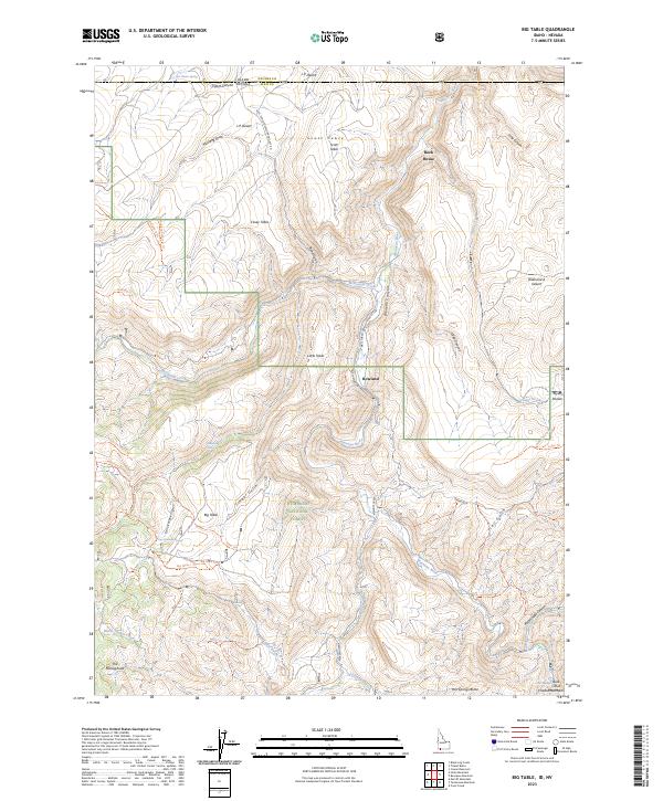
2023 Map of Big Table
USGS Topo · Published 2023About this map
The Humboldt National Forest spans the southern and central portions of this high desert landscape, where the Idaho-Nevada border cuts across the northern edge of Owyhee County and Elko County. The geography is defined by prominent basalt plateaus and canyons, most notably Big Table and Little Table, which overlook the deep incision of Bruneau Canyon. The Bruneau River flows through the center of the sheet, joined by tributaries such as Meadow Creek and McDonald Creek. This territory is marked by small settlements and outposts like Rowland and Rock House, connected by a network of forest service trails including the Scott Trl and Roland Trl. To the south, the terrain rises toward the Ichabo Mountains and Hot Springs Butte, while the arid reaches of the Diamond A Desert and J-P Desert dominate the eastern and northern horizons.
Find a feature on this map
61 named features on this map. Tap any name to fly to it.
Don’t see what you’re looking for? This feature index may not catch every label — zoom into the map to look around manually.
Map Details
Editions of this 2023 Big Table Map
This is the sole edition of this map. No revisions or reprints were ever made.
Other maps of this area

1936 · Mountain City
USGS Topo · 1:62,500

1936 · Rowland
USGS Topo · 1:48,000

1940 · Rowland
USGS Topo · 1:62,500

1940 · Mountain City
USGS Topo · 1:62,500

1955 · Twin Falls
USGS Topo · 1:250,000

1955 · Wells
USGS Topo · 1:250,000

1958 · Wells
USGS Topo · 1:250,000

1958 · Twin Falls
USGS Topo · 1:250,000

1961 · Wells
USGS Topo · 1:250,000

1979 · Cowan Reservoir
USGS Topo · 1:24,000