2024 Map of Bigfork
USGS Topo · Published 2024About this map
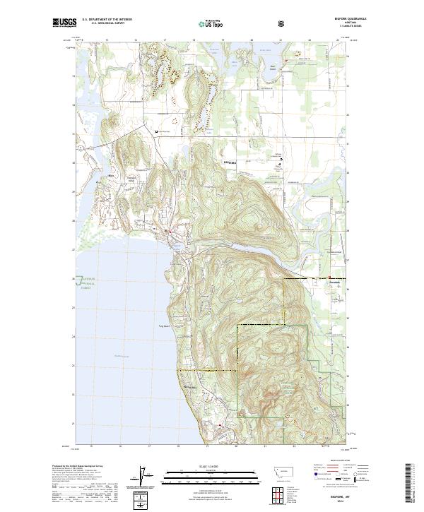
Bigfork sits at the northeastern corner of Flathead Lake, where the waters of the Swan River enter Bigfork Harbor. This modern survey documents the interface between the dense residential development around Woods Bay and the preserved timberlands of the Flathead National Forest. Further north, the landscape is defined by a cluster of glacial lakes including Echo Lake, Abbot Lake, and Peterson Lake, which surround Deer Island. The area preserves several significant local history markers, from the Lone Pine Cem near the Flathead Valley to the Bethany Lutheran Cem located north of the village. The eastern half of the map transitions into the rising terrain of Ponderosa Ridge and the Ferndale community, where the Ferndale Airfield serves the local aviation needs of the valley.
Find a feature on this map
121 named features on this map. Tap any name to fly to it.
Don’t see what you’re looking for? This feature index may not catch every label — zoom into the map to look around manually.
Map Details
Editions of this 2024 Bigfork Map
This is the sole edition of this map. No revisions or reprints were ever made.
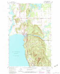
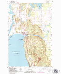
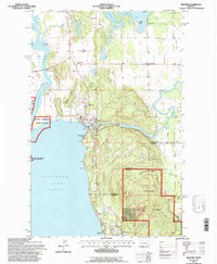
Historical Maps of Ferndale Through Time
4 maps found
Featured Locations
- Orchard Hills Mobile Home Park, MT
- Woods Bay, MT
- Ferndale, MT
- Idlewise Court, MT
- Ferndale Mobile Court, MT