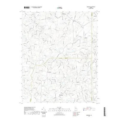
2020 Map of Birmingham
USGS Topo · Published 2020About this map
Milton and the surrounding communities of Birmingham and Hopewell define this North Georgia landscape where the Piedmont transition meets the developing northern suburbs of Atlanta. The drainage of the Little River and its various tributaries like Chicken Creek and Board Tree Creek create a complex network of ridges and small lakes, including Thurmond Lake and Bell Lake. Historically minded researchers will find the area's rural roots preserved in the names of family landmarks such as Smith Cemetery near Free Home and Stevens Cemetery to the southwest. The presence of settlements like Lathemtown, Holbrook, and Ducktown near the tri-county borders of Cherokee, Fulton, and Forsyth indicates a longstanding pattern of crossroads commerce that has evolved into contemporary residential clusters while maintaining a high density of named local roads.
Find a feature on this map
266 named features on this map. Tap any name to fly to it.
Don’t see what you’re looking for? This feature index may not catch every label — zoom into the map to look around manually.
Map Details
Editions of this 2020 Birmingham Map
This is the sole edition of this map. No revisions or reprints were ever made.
Other maps of this area

1890 · Suwanee
USGS Topo · 1:125,000

1894 · Suwanee
USGS Topo · 1:125,000

1926 · Tate
USGS Topo · 1:62,500

1928 · Tate
USGS Topo · 1:62,500

1955 · Rome
USGS Topo · 1:250,000

1956 · Duluth
USGS Topo · 1:24,000
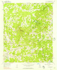
1956 · Mountain Park
USGS Topo · 1:24,000

1956 · Roswell
USGS Topo · 1:24,000

1956 · Birmingham
USGS Topo · 1:24,000

1958 · Rome
USGS Topo · 1:250,000