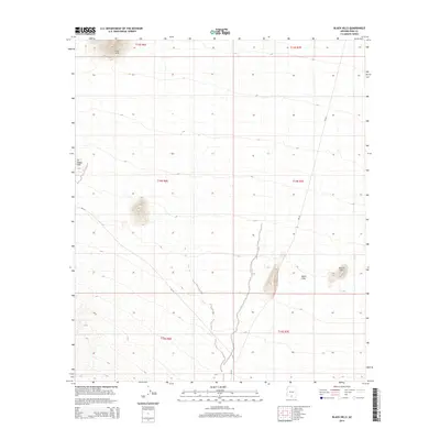
2014 Map of Black Hills
USGS Topo · Published 2014About this map
Vaca Hills and the Sil Nakya Hills define this high desert terrain in the Schuk Toak District during the early 2010s. The landscape is characterized by intermittent drainages and isolated peaks, such as Proctor Hill and the eponymous Black Hills, which rise above the surrounding flats. Transportation in this part of Pima County is limited to a sparse network of Bureau of Indian Affairs routes, specifically Bia-34 and Bia-35. This survey highlights the traditional land divisions of the Public Land Survey System, including Township 14 South, Range 7 East. The layout of these routes relative to the prominent topography illustrates the natural constraints on travel and movement through this arid environment.
Find a feature on this map
12 named features on this map. Tap any name to fly to it.
Don’t see what you’re looking for? This feature index may not catch every label — zoom into the map to look around manually.
Map Details
Editions of this 2014 Black Hills Map
This is the sole edition of this map. No revisions or reprints were ever made.
Other maps of this area

1934 · Silver Bell
USGS Topo · 1:125,000

1937 · Comobabi
USGS Topo · 1:48,000

1938 · San Vicente
USGS Topo · 1:62,500

1941 · San Vicente
USGS Topo · 1:62,500

1942 · San Vicente
USGS Topo · 1:62,500

1942 · Comobabi
USGS Topo · 1:62,500

1948 · San Vicente
USGS Topo · 1:62,500

1956 · Tucson
USGS Topo · 1:250,000

1958 · Tucson
USGS Topo · 1:250,000

1959 · Tucson
USGS Topo · 1:250,000