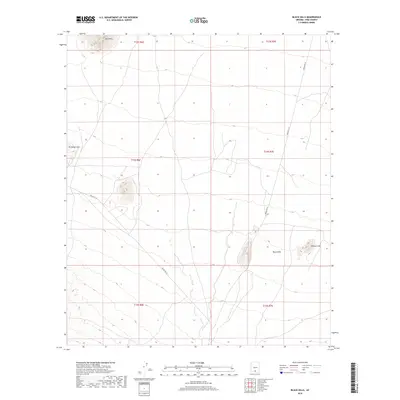
2018 Map of Black Hills
USGS Topo · Published 2018About this map
The Black Hills rise from the desert floor within the Schuk Toak District, serving as a prominent geographical anchor for this 2018 survey of Pima County. The landscape is defined by its arid isolated peaks, including the Vaca Hills in the north and the Sil Nakya Hills to the west. Between these elevations, the topography is traversed by two primary corridors: Indian Rte 34 and Indian Rte 35, which provide the essential connection through the Sonoran terrain. This modern topographic record captures the area's sparse infrastructure, dominated by survey markers and boundary lines like t14s r7e. To the east, the distinct summit of Proctor Hill stands near the main cluster of the Black Hills, marking a point of interest for those studying the physical geography of this portion of the Tohono O'odham Nation.
Find a feature on this map
12 named features on this map. Tap any name to fly to it.
Don’t see what you’re looking for? This feature index may not catch every label — zoom into the map to look around manually.
Map Details
Editions of this 2018 Black Hills Map
This is the sole edition of this map. No revisions or reprints were ever made.
Other maps of this area

1934 · Silver Bell
USGS Topo · 1:125,000

1937 · Comobabi
USGS Topo · 1:48,000

1938 · San Vicente
USGS Topo · 1:62,500

1941 · San Vicente
USGS Topo · 1:62,500

1942 · San Vicente
USGS Topo · 1:62,500

1942 · Comobabi
USGS Topo · 1:62,500

1948 · San Vicente
USGS Topo · 1:62,500

1956 · Tucson
USGS Topo · 1:250,000

1958 · Tucson
USGS Topo · 1:250,000

1959 · Tucson
USGS Topo · 1:250,000