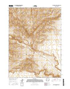
2017 Map of Black Rock Springs
USGS Topo · Published 2017About this map
Lone Mtn and the high desert terrain of Harney County define this high-altitude landscape in southeastern Oregon. This 2017 survey captures a remote region shaped by geological features like the volcanic Twin Peak and drainage systems such as Long Hollow Cr. The presence of Black Rock Springs suggests an essential water source in an otherwise arid environment characterized by significant elevation changes. Human activity in the area is largely limited to the winding path of Oregon End Table Rd, which traverses the township lines of t40s r32e and t41s r32e. For researchers, the map provides a precise look at the township and range grid system overlaid across natural landmarks like Long Draw, reflecting the modern cartographic standards of the U.S. Geological Survey.
Find a feature on this map
10 named features on this map. Tap any name to fly to it.
Don’t see what you’re looking for? This feature index may not catch every label — zoom into the map to look around manually.
Map Details
Editions of this 2017 Black Rock Springs Map
This is the sole edition of this map. No revisions or reprints were ever made.
Other maps of this area

1886 · Disaster
USGS Topo · 1:250,000

1889 · Long Valley
USGS Topo · 1:250,000

1893 · Disaster
USGS Topo · 1:250,000

1954 · Vya
USGS Topo · 1:250,000

1955 · Adel
USGS Topo · 1:250,000

1957 · Adel
USGS Topo · 1:250,000

1958 · Vya
USGS Topo · 1:250,000

1958 · Adel
USGS Topo · 1:250,000

1962 · Vya
USGS Topo · 1:250,000

1962 · Adel
USGS Topo · 1:250,000