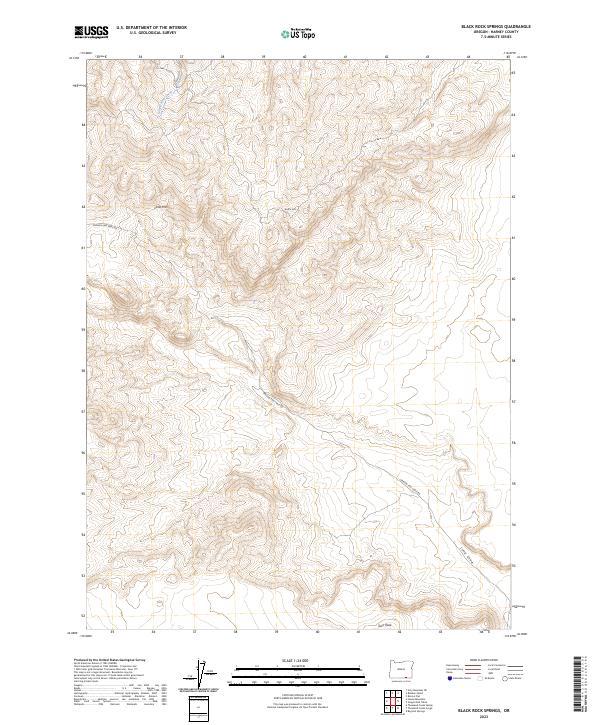
2023 Map of Black Rock Springs
USGS Topo · Published 2023About this map
Oregon End Table Rd winds through the high desert of Harney County, tracing a route across a landscape defined by significant elevation changes and seasonal watercourses. The drainage of Long Hollow Creek carves through the northern reaches, while the southeast is dominated by the steep decline of Long Draw. This 2023 survey illustrates the sparse, high-altitude character of the region, where named landmarks like Lone Mtn and the prominent Black Rock serve as essential navigational markers. Further south, the terrain rises toward Twin Peak, providing a clear record of the area's geological relief and the limited infrastructure of this remote corner of Oregon.
Find a feature on this map
10 named features on this map. Tap any name to fly to it.
Don’t see what you’re looking for? This feature index may not catch every label — zoom into the map to look around manually.
Map Details
Editions of this 2023 Black Rock Springs Map
This is the sole edition of this map. No revisions or reprints were ever made.
Other maps of this area

1886 · Disaster
USGS Topo · 1:250,000

1889 · Long Valley
USGS Topo · 1:250,000

1893 · Disaster
USGS Topo · 1:250,000

1954 · Vya
USGS Topo · 1:250,000

1955 · Adel
USGS Topo · 1:250,000

1957 · Adel
USGS Topo · 1:250,000

1958 · Vya
USGS Topo · 1:250,000

1958 · Adel
USGS Topo · 1:250,000

1962 · Vya
USGS Topo · 1:250,000

1962 · Adel
USGS Topo · 1:250,000