Loading...
Loading map...2024 Map of Blackville
USGS Topo · Published 2024About this map
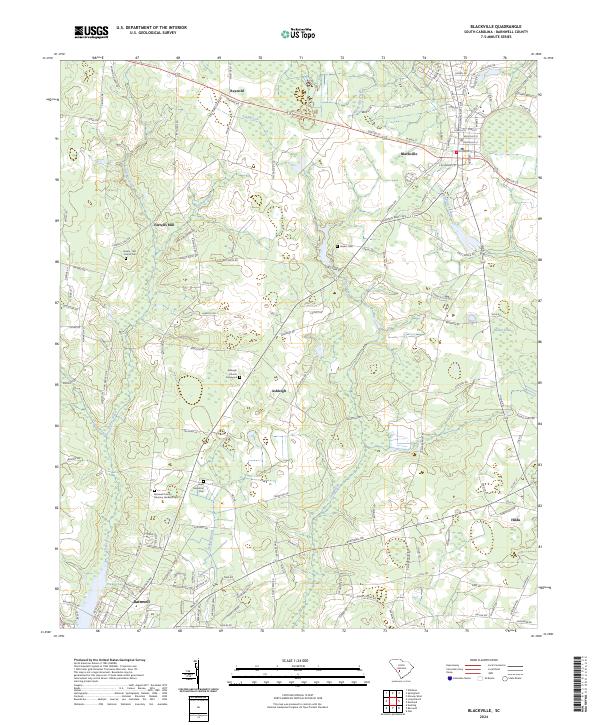
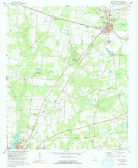
Blackville serves as the central hub of this Barnwell County landscape, where the upper reaches of the Little Salkehatchie River and its numerous tributaries like Toby Creek and Turkey Creek shape the rural layout. The map documents a patchwork of small communities and family-named locales, including Reynold, Ashleigh, and Farrells Mill, linked by a network of established roads such as Solomon Blatt Ave and Heritage Rd.
Find a feature on this map
141 named features on this map. Tap any name to fly to it.
Don’t see what you’re looking for? This feature index may not catch every label — zoom into the map to look around manually.
Map Details
Date Portrayed2024
Date Published2024
PublisherU.S. Geological Survey
Map TypeTopographic
Scale1:24000
Physical Dimensions24 x 29 inches
Editions of this 2024 Blackville Map
This is the sole edition of this map. No revisions or reprints were ever made.
Historical Maps of Elko Through Time
Featured Locations
Source Details
SourceU.S. Geological Survey
CopyrightPublic Domain