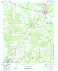
1979 Map of Blackville
USGS Topo · Published 1992About this map
Blackville serves as the primary hub of this Barnwell County landscape, situated where the Southern railroad lines intersect at the heart of the community. The town's social and educational structure is well-defined by numerous institutions, including Blackville High Sch, Sacred Heart Ch, and the Jefferson Davis Academy. The surrounding countryside maintains a blend of agricultural research and recreation, anchored by the Edisto Experimental Sta to the north and the expansive Barnwell State Park centered on Toby Creek. Further south, the town of Barnwell appears at the edge of the sheet, supported by infrastructure like the Armory and a local Hospital. The map reveals a transition from these urban centers to rural areas marked by family-named landmarks like Farrells Mill and several smaller settlements such as Ashleigh and Hilda along the Seaboard Coast Line.
Find a feature on this map
57 named features on this map. Tap any name to fly to it.
Don’t see what you’re looking for? This feature index may not catch every label — zoom into the map to look around manually.
Map Details
Editions of this 1979 Blackville Map
2 editions found
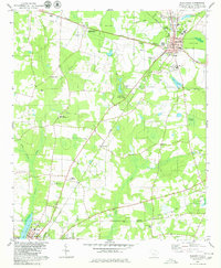
Other maps of this area

1919 · Olar
USGS Topo · 1:62,500

1919 · Bamberg
USGS Topo · 1:48,000

1919 · Allendale
USGS Topo · 1:62,500

1920 · Bamberg
USGS Topo · 1:62,500

1923 · Williston
USGS Topo · 1:48,000

1927 · Williston
USGS Topo · 1:62,500

1943 · Olar
USGS Topo · 1:62,500

1943 · Allendale
USGS Topo · 1:62,500

1943 · Bamberg
USGS Topo · 1:62,500

1943 · Williston
USGS Topo · 1:62,500