
1919 Map of Olar
USGS Topo · Published 1919About this map
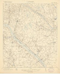
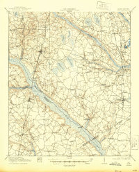
Olar and Ehrhardt anchor this South Carolina Lowcountry landscape, where the Salkehatchie River and Little Salkehatchie River create broad swampy corridors that dictated early transit. Crossings like Buford Bridge and Peters Bridge were vital links for the regional economy, connecting the agricultural hinterlands to the emerging rail network. The map reveals a dense social infrastructure of the era, with small rural nodes defined by landmarks such as Hushes Old Mill and many faith-based communities including Orange Grove Church and Macedonia Church. The presence of Lemon Spur and the Bamberg, Ehrhardt & Walterboro RR illustrates the importance of timber and cotton transport during this period. The terrain is marked by distinctive depressions such as Sultan Bay and Alligator Bay, which influenced local drainage and settlement patterns.
Find a feature on this map
70 named features on this map. Tap any name to fly to it.
Don’t see what you’re looking for? This feature index may not catch every label — zoom into the map to look around manually.
Map Details
Editions of this 1919 Olar Map
3 editions found
Other maps of this area

1918 · Varnville
USGS Topo · 1:62,500

1919 · Bamberg
USGS Topo · 1:48,000

1919 · Allendale
USGS Topo · 1:62,500

1919 · Cummings
USGS Topo · 1:62,500

1919 · Lodge
USGS Topo · 1:62,500

1920 · Lodge
USGS Topo · 1:48,000

1920 · Bamberg
USGS Topo · 1:62,500

1920 · Peeples
USGS Topo · 1:62,500

1920 · Orangeburg
USGS Topo · 1:48,000

1921 · Orangeburg
USGS Topo · 1:62,500