
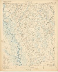
1920 Map of Peeples
USGS Topo · Published 1920About this map
The Savannah River serves as the western boundary of this 1918 survey, its winding course marked by a series of landings and points including King Creek Landing and Cohens Bluff Ldg. The landscape of the South Carolina lowcountry is defined here by its transitional transportation networks, where the Dixie Highway and Revolutionary Trail cross paths with the Southern Railway and the Charleston and Western Carolina line.
Find a feature on this map
79 named features on this map. Tap any name to fly to it.
Don’t see what you’re looking for? This feature index may not catch every label — zoom into the map to look around manually.
Map Details
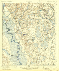
Editions of this 1920 Peeples Map
3 editions found
Other maps of this area

1918 · Varnville
USGS Topo · 1:62,500

1918 · Oliver
USGS Topo · 1:62,500

1919 · Pineland
USGS Topo · 1:62,500

1919 · Olar
USGS Topo · 1:62,500

1919 · Shirley
USGS Topo · 1:62,500

1919 · Allendale
USGS Topo · 1:62,500

1920 · Ellenton
USGS Topo · 1:48,000

1920 · Hilltonia
USGS Topo · 1:62,500

1920 · Oliver
USGS Topo · 1:62,500

1921 · Ellenton
USGS Topo · 1:62,500