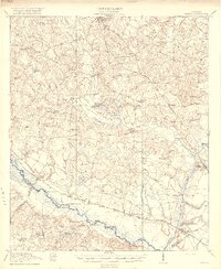
1918 Map of Oliver
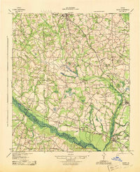
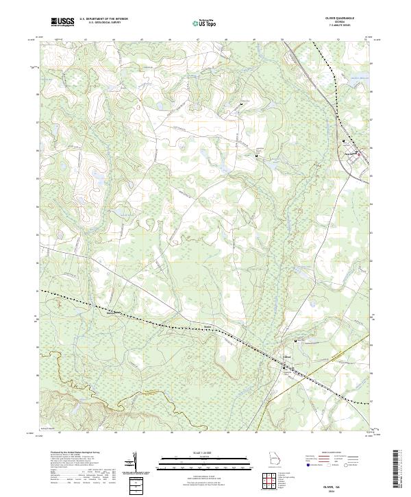
USGS Topo · Published 1972About this map
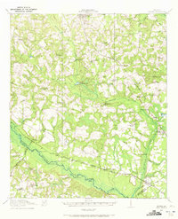
The Ogeechee River meanders through this southeast Georgia landscape, defining the boundary between Screven and Bulloch counties. At the time of this 1918 survey, the region supported a dense network of rural infrastructure, with numerous schools such as Middle Ground School and Captolo School serving scattered farming communities. The Central of Georgia RR and the Savannah and Statesboro RR provided essential transit links, connecting settlements like Halcyondale, Cameron, and Oliver.
Find a feature on this map
55 named features on this map. Tap any name to fly to it.
Don’t see what you’re looking for? This feature index may not catch every label — zoom into the map to look around manually.
Map Details
Editions of this 1918 Oliver Map
This is the sole edition of this map. No revisions or reprints were ever made.
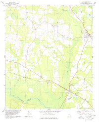
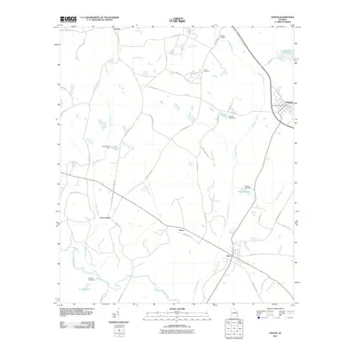
Historical Maps of Sylvania Through Time
9 maps found