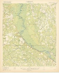
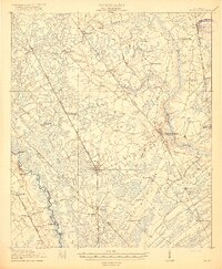
1919 Map of Shirley
USGS Topo · Published 1919About this map
The Savannah River defines this borderland between South Carolina and Georgia, winding through a complex of cutoffs, bluffs, and landings that served the river-based economy of the late 1910s. The landscape is marked by a deep network of river features including Poor Robin Upper Cut Point, Bull Pen Pt, and Tiger Leap Bluff. On the South Carolina side, the expansion of transport and industry is evident in the Logging R R near Morrison Switch and the Seaboard Line near Estill, while the Georgia side shows a more dispersed settlement pattern around Kildare and Newington.
Find a feature on this map
98 named features on this map. Tap any name to fly to it.
Don’t see what you’re looking for? This feature index may not catch every label — zoom into the map to look around manually.
Map Details
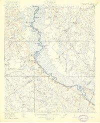
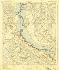
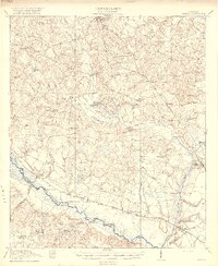
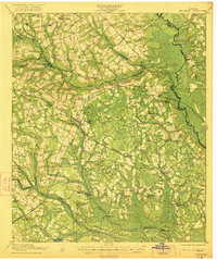
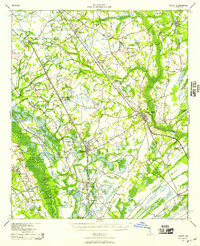
Editions of this 1919 Shirley Map
3 editions found
Other maps of this area

1918 · Varnville
USGS Topo · 1:62,500
1918 · Oliver
USGS Topo · 1:62,500

1919 · Pineland
USGS Topo · 1:62,500
1919 · Egypt
USGS Topo · 1:62,500

1920 · Hardeeville
USGS Topo · 1:62,500

1920 · Hilltonia
USGS Topo · 1:62,500
1920 · Oliver
USGS Topo · 1:62,500

1920 · Peeples
USGS Topo · 1:62,500
1921 · Brooklet
USGS Topo · 1:62,500
1939 · Egypt
USGS Topo · 1:62,500