
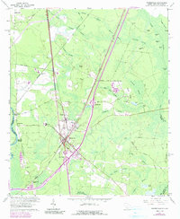
Loading...
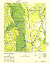
Loading map...1920 Map of Hardeeville
USGS Topo · Published 1920About this map
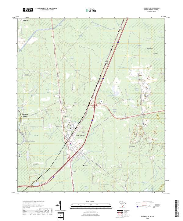
The Savannah River defines the border between Georgia and South Carolina in this reconnaissance survey, revealing a landscape where river transport and early rail networks intersect. This era shows the decline of historic river crossings, marked by the noted Becks Ferry (Abandoned) and Sisters Ferry. The South Carolina side features the riverfront settlement of Purrysburg and the rail hub at Hardeeville, while the Georgia interior includes Rincon along the Seaboard Line.
Find a feature on this map
71 named features on this map. Tap any name to fly to it.
Don’t see what you’re looking for? This feature index may not catch every label — zoom into the map to look around manually.
Map Details
Date Portrayed1920
Date Published1920
PublisherU.S. Geological Survey
Map TypeTopographic
Scale1:62,500
Physical Dimensions17.01 x 22.03 inches
Editions of this 1920 Hardeeville Map
This is the sole edition of this map. No revisions or reprints were ever made.
Historical Maps of Rincon Through Time
9 maps found

Featured Locations
Source Details
SourceU.S. Geological Survey
CopyrightPublic Domain