
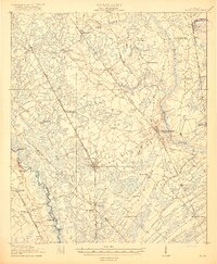
1920 Map of Meldrim
USGS Topo · Published 1920About this map
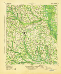
Ogeechee River serves as the central artery for this reconnaissance survey, defining the boundaries between Bryan, Effingham, and Chatham counties. The landscape is characterized by extensive wetlands like Walloun Swamp and a dense network of early 20th-century transportation routes. Major rail lines, including the Central of Georgia R.R. and the Seaboard Air Line R.R., intersect at junctions like Meldrim, illustrating the era's reliance on rail for moving timber and agricultural goods.
Find a feature on this map
44 named features on this map. Tap any name to fly to it.
Don’t see what you’re looking for? This feature index may not catch every label — zoom into the map to look around manually.
Map Details
Editions of this 1920 Meldrim Map
This is the sole edition of this map. No revisions or reprints were ever made.
Other maps of this area

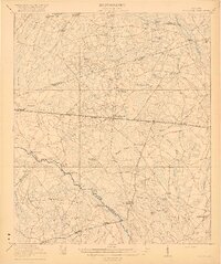
1918 · Hinesville
USGS Topo · 1:62,500
1919 · Egypt
USGS Topo · 1:62,500

1920 · Hardeeville
USGS Topo · 1:62,500
1920 · Pembroke
USGS Topo · 1:62,500

1920 · Limerick
USGS Topo · 1:62,500
1921 · Brooklet
USGS Topo · 1:62,500
1939 · Egypt
USGS Topo · 1:62,500
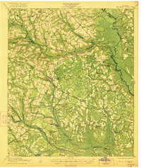
1942 · Meldrim
USGS Topo · 1:62,500

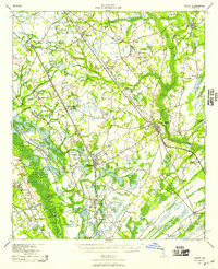
1942 · Savannah
USGS Topo · 1:62,500
1943 · Brooklet
USGS Topo · 1:62,500