
Loading...
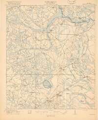
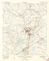
Loading map...1918 Map of Hinesville
USGS Topo · Published 1918About this map
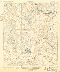
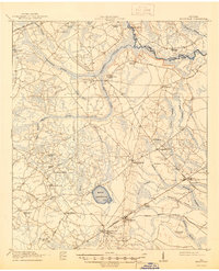
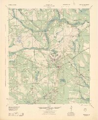
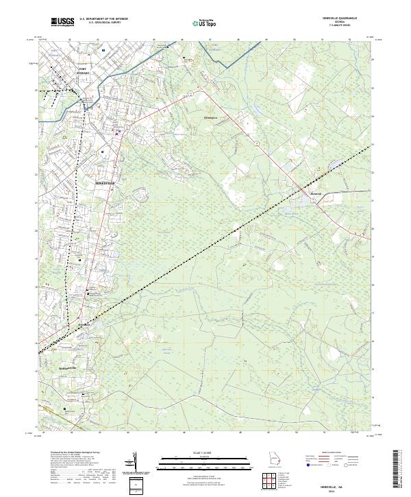
Hinesville sits at the nexus of several coastal roads and rail lines in this early 20th-century survey of Liberty County. The landscape is defined by vast lowland systems such as Captain Fleming Swamp and the meandering Canoochee Creek, which marks the boundary with Bryan County. A distinct rural infrastructure is visible through the density of named schoolhouses like Thomas Hill School and Elim School, suggesting a distributed agricultural population.
Find a feature on this map
51 named features on this map. Tap any name to fly to it.
Don’t see what you’re looking for? This feature index may not catch every label — zoom into the map to look around manually.
Map Details
Date Portrayed1918
Date Published1918
PublisherU.S. Geological Survey
Map TypeTopographic
Scale1:62,500
Physical Dimensions16.6 x 19.8 inches
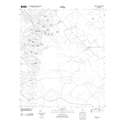
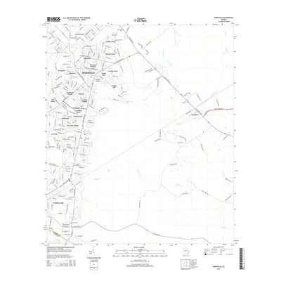
Editions of this 1918 Hinesville Map
4 editions found
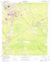
Historical Maps of Hinesville Through Time
9 maps found
Featured Locations
Source Details
SourceU.S. Geological Survey
CopyrightPublic Domain