Loading...
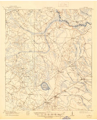
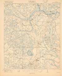
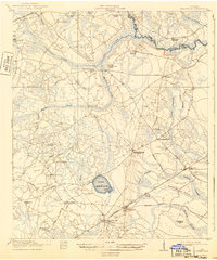
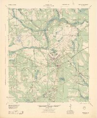
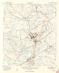
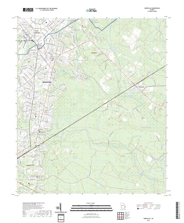
Loading map...1918 Map of Hinesville
USGS Topo · Published 1944About this map
Hinesville serves as the hub of this Liberty County landscape, surveyed just before the end of the Great War. The area is defined by a dense network of swampy lowlands and watercourses, including Canoochee Creek and Captain Fleming Swamp, which dictated the early placement of schools and churches on higher ground. Notable communal landmarks such as the Liberty Campmeeting Ground and New Jerusalem Church reflect the deep social and religious roots of these rural communities.
Find a feature on this map
53 named features on this map. Tap any name to fly to it.
Don’t see what you’re looking for? This feature index may not catch every label — zoom into the map to look around manually.
Map Details
Date Portrayed1918
Date Published1944
PublisherU.S. Geological Survey
Map TypeTopographic
Scale1:62,500
Physical Dimensions16.8 x 20.7 inches
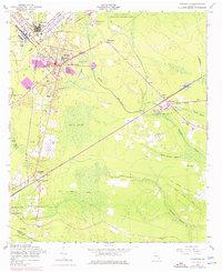
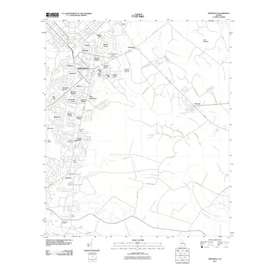
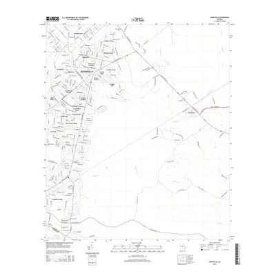
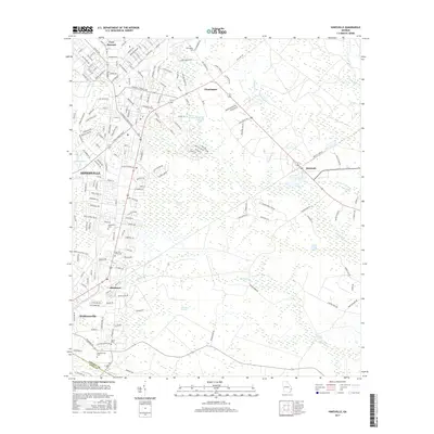
Editions of this 1918 Hinesville Map
4 editions found

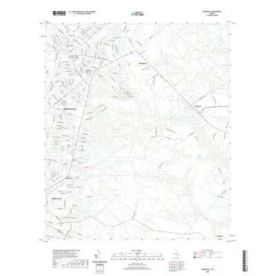
Historical Maps of Hinesville Through Time
9 maps found
Featured Locations
Source Details
SourceU.S. Geological Survey
CopyrightPublic Domain