
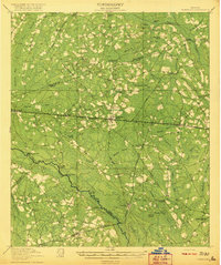
1920 Map of Pembroke
USGS Topo · Published 1920About this map
The Canoochee River carves a winding path through this Bryan County landscape, defining the topography of the early twentieth century. This era in Georgia is marked by the presence of numerous small community centers, each anchored by its own educational and religious institutions. Notable rural hubs include Red Hill Church, Ash Branch Church, and several schoolhouses like Stevens Grove School and Oak Grove School. These features suggest a highly localized social structure common before the widespread consolidation of the mid-1900s.
Find a feature on this map
68 named features on this map. Tap any name to fly to it.
Don’t see what you’re looking for? This feature index may not catch every label — zoom into the map to look around manually.
Map Details
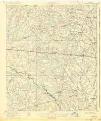
Editions of this 1920 Pembroke Map
3 editions found
Other maps of this area

1918 · Hinesville
USGS Topo · 1:62,500

1919 · Claxton
USGS Topo · 1:62,500

1919 · Egypt
USGS Topo · 1:62,500

1920 · Statesboro
USGS Topo · 1:62,500

1920 · Glennville
USGS Topo · 1:62,500

1920 · Meldrim
USGS Topo · 1:62,500

1920 · Limerick
USGS Topo · 1:62,500

1921 · Brooklet
USGS Topo · 1:62,500

1939 · Egypt
USGS Topo · 1:62,500

1942 · Meldrim
USGS Topo · 1:62,500